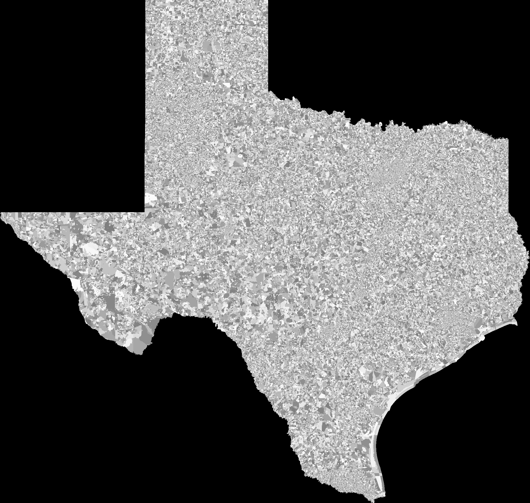
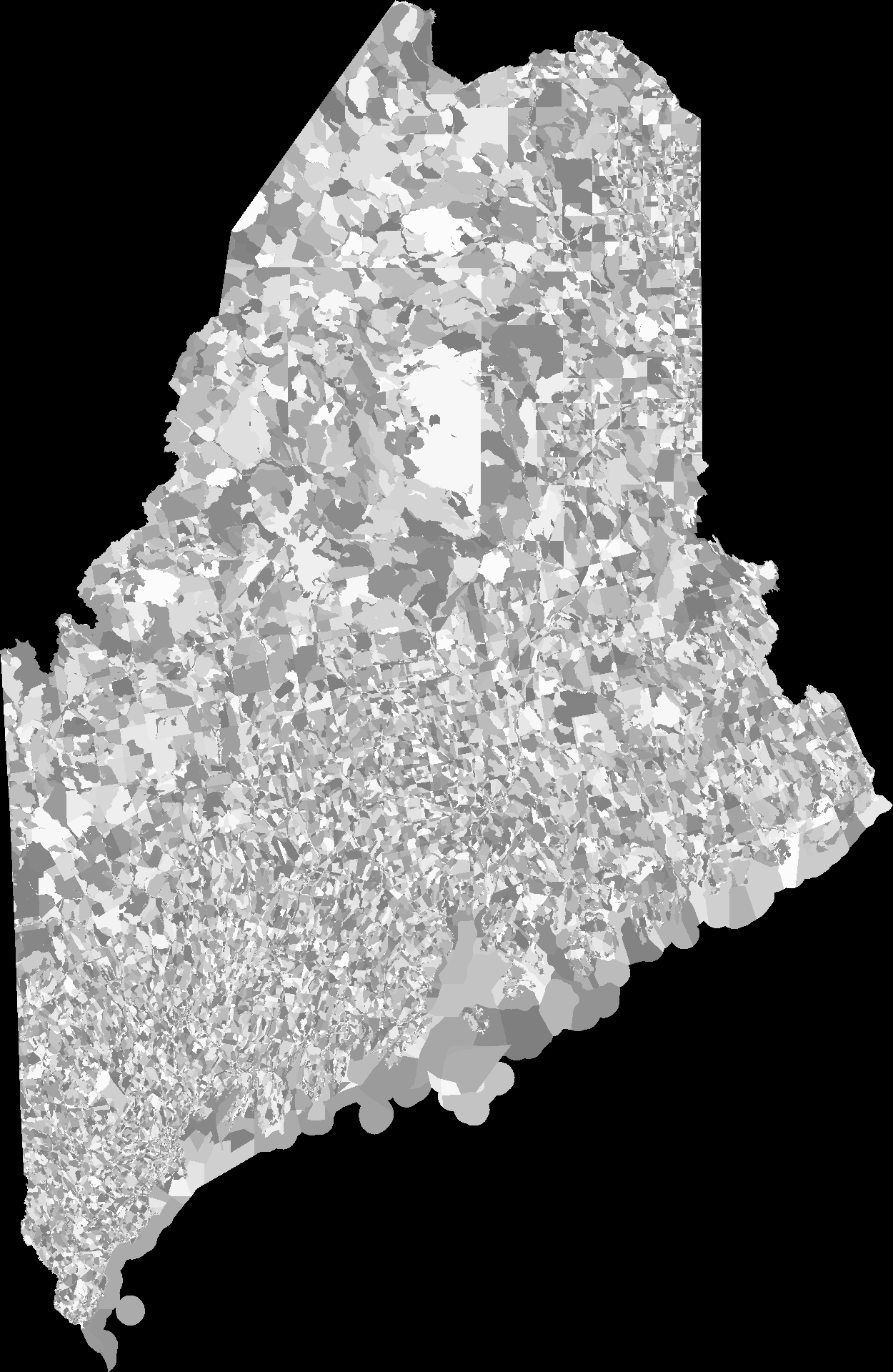
http://bolson.org/dist/TX/txmask.png
http://bolson.org/dist/ME/memask.png
(All of the states should be available by similar URLs by state postal code.
Note the odd XX/xx capitalization.)

On Nov 28, 2009, at 6:57 PM, Raph Frank wrote:

> I generated some pdf maps of Texas.
>
> They are pretty big as they include all the lines that are included in
> the census data.  They would stress even the best of computers.
>
> However, it shows the kind of shapes that are included in the census system.
>
> County - 1MB (7MB expanded)
> http://www.electionsciencefoundation.org/temp_images/county.zip
>
> Tract - 4MB (32MB expanded)
> http://www.electionsciencefoundation.org/temp_images/tract.zip
>
> Block Groups - 7MB (60MB expanded)
> http://www.electionsciencefoundation.org/temp_images/tract.zip
>
> I also did a block one, but it comes to 420MB.
> ----
> Election-Methods mailing list - see http://electorama.com/em for list info

----
Election-Methods mailing list - see http://electorama.com/em for list info