Roberto Inzerillo wrote:
> Martin Spott ha scritto:
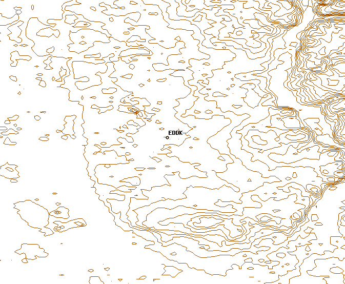
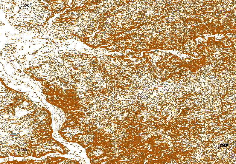
> > Just for the record, two other 'shots' of the EDDK area:
> >
> > http://foxtrot.mgras.net/bitmap/FGFS/EDDK-contour_01.png
> > http://foxtrot.mgras.net/bitmap/FGFS/EDDK-contour_02.png
>
> Btw, I'm very interseted in EDDK area. Those shots look very nice. Will
> that be translated to a public terrain release soon? What's the plan?
These 'shots' are made of the same geometry data serves for the
FlightGear Scenery elevation. The only difference is that, to my
knowledge, TerraGear reads 'raw' .hgt-files and I've been using a
GeoTIFF image, that was made from these .hgt-files but contains
exactly the same elevation data.

We're not going to turn all the SRTM2 imagery into elevation contour
lines, because storing these contour lines requires significantly more
space. Instead, the plan is to have a repository where people can add
their _own_ elevation contour lines from their preferred places.
Well, some developer would then have to incorporate the required logic
into TerraGear, that reads these contour lines and overrides the usual
methods of determining terrain elevation - I guess this is a tricky
part.

Some tools to create such contour lines already exist, QGIS is a nice
one. Maybe one day FGSD will have an interface to export contour lines
into the mentioned repository,

        Martin.
--
 Unix _IS_ user friendly - it's just selective about who its friends are !
--------------------------------------------------------------------------

-------------------------------------------------------------------------
Take Surveys. Earn Cash. Influence the Future of IT
Join SourceForge.net's Techsay panel and you'll get the chance to share your
opinions on IT & business topics through brief surveys - and earn cash
http://www.techsay.com/default.php?page=join.php&p=sourceforge&CID=DEVDEV
_______________________________________________
Flightgear-devel mailing list
[email protected]
https://lists.sourceforge.net/lists/listinfo/flightgear-devel