<https://lh6.googleusercontent.com/-EIUhKWCQ4n4/TicGHt7As2I/AAAAAAAAAJE/eaS56VA1BHo/map.png>
My goal is to have a map which has different states and countries display
with overlays using KML. I have tried to incorporate a KMl file from a
generator (
http://www.zonums.com/gmaps/colorit2.php?action=color&dset=FRANCE&tmap=RAMP)
but nothing happens when I link up the KML file into my map (I have tested
and proven that my method to call the KML file works with other KMl files).
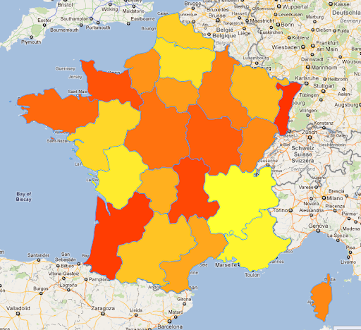
Ideally I would want my map to function similarily to how this image looks.

Is it possible?


--
You received this message because you are subscribed to the Google Groups
"Google Maps JavaScript API v3" group.
To view this discussion on the web visit
https://groups.google.com/d/msg/google-maps-js-api-v3/-/ZynrXZP4IX4J.
To post to this group, send email to [email protected].
To unsubscribe from this group, send email to
[email protected].
For more options, visit this group at
http://groups.google.com/group/google-maps-js-api-v3?hl=en.