Hi,

I'm currently working on task 672/sierra leone/ebola.
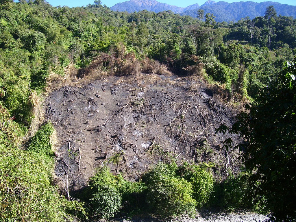
Significant parts of the forest in the area I'm mapping seem to be cleared
wit fire ("Slash-and-burn"). Wikipedia shows a good picture:

http://upload.wikimedia.org/wikipedia/commons/4/4f/Jhum.jpg

See sattelite images here:

9,11525 -12,69831
http://binged.it/1wNZfe6


Should these areas be marked in a special way?


Regards, Matt
_______________________________________________
HOT mailing list
[email protected]
https://lists.openstreetmap.org/listinfo/hot