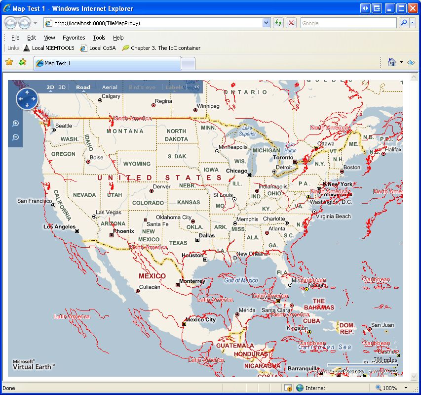
On Fri, Jan 02, 2009 at 04:20:28PM -0500, Dave Rafkind wrote:
> Ahh, image hosted here:
>
> http://farm4.static.flickr.com/3115/3161140430_b1577f81bf_o.jpg
Take one of the broken tiles, and find the URL from it. Share that URL
with us, along with the result from it. (Alternatively/preferably, you
might want to publish the page you took a screenshot of, but I assume
that since it's running on localhost, that' shard.)

> Dave Rafkind wrote:
> >Hi, thanks for your reply. Results follow:
> >
> >I can't remove the PROJECTION block, otherwise I get this error from
> >mapserver:
> >msTileSetProjectionst(): WMS server error. Cannot set new SRS on a map
> >that doesn't have any projection set. Please make sure your mapfile
> >has a PROJECTION defined at the top level.
> >
> >QGis thinks this is the spatial information for my test shapefile,
> >this is 4326 (basically unprojected), right?
> >+proj=longlat +ellps=WGS84 +datum=WGS84 +no_defs
> >
> >If I have the PROJECTION block in the mapfile, I can indeed see tiles
> >of some kind, but it looks like each tile overlaps in its spatial extent.
> >
> >See attached for "wrong" results..I changed some of the colors so it
> >would be more obvious.
> >
> >
> >
> >
> >Paul Ramsey wrote:
> >>Dave,
> >>
> >>- Remove the PROJECTION block from the MAP level (leave the one at the
> >>LAYER level). Tile mode constructs its own output projection object,
> >>it doesn't need map file configuration for the output projection, just
> >>the inputs.
> >>- Confirm that the shape file you are using *is* in fact epsg:4326
> >>- Try manually accessing the service using tile=0 or tile=1, and see
> >>what comes back
> >>- Show some pictures of "wrong" in your next mail
> >>
> >>P.
> >>
> >>On Fri, Jan 2, 2009 at 12:06 PM, Dave Rafkind
> >><[email protected]> wrote:
> >>
> >>>Thanks for the suggestions, but I don't think that's quite it:
> >>>
> >>>1 - removing "epsg:4326" from the wms_srs part of the mapfile didn't
> >>>fix it
> >>>2 - adding "&SRS=EPSG:900913" to the Virtual Earth "tileSource" string
> >>>didn't fix it
> >>>
> >>>Is there anything else I can try?
> >>>
> >>>
> >>>Fawcett, David wrote:
> >>>
> >>>>Dave,
> >>>>I am not sure if this is it, but in your WMS request, you are not
> >>>>specifying a SRS.  You are advertising two SRS' in your WEB WMS
> >>>>"wms_srs" metadata.  I wonder if MapServer is just defaulting to the
> >>>>first SRS in your list in the absence of an explicit request?
> >>>>David.
> >>>>
> >>>>-----Original Message-----
> >>>>From: [email protected]
> >>>>[mailto:[email protected]] On Behalf Of Dave
> >>>>Rafkind
> >>>>Sent: Friday, January 02, 2009 12:39 PM
> >>>>To: [email protected]
> >>>>Subject: [mapserver-users] Trouble with mode=tile
> >>>>
> >>>>
> >>>>Hi list, I'm using the latest ms4w on a windows XP box. When trying
> >>>>to use
> >>>>mapserver's tile mode in a Virtual Earth or Google Maps control, it
> >>>>looks totally wrong (like the wrong projection is being used
> >>>>perhaps?).
> >>>>What is the right way to go about this?
> >>>>
> >>>>Here's mapserver.exe -v:
> >>>>
> >>>>C:\ms4w\Apache\cgi-bin>mapserv -v
> >>>>MapServer version 5.2.1 OUTPUT=GIF OUTPUT=PNG OUTPUT=JPEG OUTPUT=WBMP
> >>>>OUTPUT=PDF
> >>>> OUTPUT=SWF OUTPUT=SVG SUPPORTS=PROJ SUPPORTS=AGG SUPPORTS=FREETYPE
> >>>>SUPPORTS=ICO
> >>>>NV SUPPORTS=FRIBIDI SUPPORTS=WMS_SERVER SUPPORTS=WMS_CLIENT
> >>>>SUPPORTS=WFS_SERVER
> >>>>SUPPORTS=WFS_CLIENT SUPPORTS=WCS_SERVER SUPPORTS=SOS_SERVER
> >>>>SUPPORTS=FASTCGI SUP
> >>>>PORTS=THREADS SUPPORTS=GEOS SUPPORTS=RGBA_PNG INPUT=JPEG INPUT=POSTGIS
> >>>>INPUT=OGR
> >>>> INPUT=GDAL INPUT=SHAPEFILE
> >>>>
> >>>>Here's the relevant part of my web page with the map control:
> >>>>       map=new VEMap('myMap');
> >>>>       // ...
> >>>>       var layerId = "myCustomTileLayer";
> >>>>       var tileSource =
> >>>>"http://localhost/cgi-bin/mapserv.exe?map=/src/maps/mapdata/maps/dave1.m
> >>>>
> >>>>ap&layers=world&mode=tile&tilemode=ve&tile=%4";
> >>>>       var tileSourceSpec = new VETileSourceSpecification(layerId,
> >>>>tileSource);
> >>>>       // ...
> >>>>
> >>>>Here's the last line of my EPSG file (from c:\ms4w\proj\nad\epsg)
> >>>>       # google/virtual earth spherical mercator
> >>>>       <900913> +proj=merc +a=6378137 +b=6378137 +lat_ts=0.0
> >>>>+lon_0=0.0
> >>>>
> >>>>+x_0=0.0 +y_0=0 +k=1.0 +units=m +nadgri...@null +no_defs <>
> >>>>
> >>>>
> >>>>And here's my map file:
> >>>>MAP
> >>>> IMAGETYPE      PNG
> >>>> OUTPUTFORMAT
> >>>>   NAME png
> >>>>   DRIVER "GD/PNG"
> >>>>   MIMETYPE "image/png"
> >>>>   IMAGEMODE RGBA
> >>>>   EXTENSION "png"
> >>>>   TRANSPARENT ON
> >>>> END
> >>>>
> >>>> SHAPEPATH      "/src/maps/mapdata"
> >>>> FONTSET     "/src/maps/mapdata/fonts.list"
> >>>> IMAGECOLOR     0 0 0
> >>>>
> >>>>   WEB
> >>>> METADATA
> >>>>   "wms_title"           "WMS Demo Server"
> >>>>   "wms_onlineresource"
> >>>> "http://localhost/cgi-bin/mapserv.exe?map=/src/maps/mapdata/maps/dave1.m
> >>>>
> >>>>ap&"
> >>>>   "wms_srs"             "EPSG:4326 EPSG:900913"
> >>>> END
> >>>>END
> >>>>
> >>>>     PROJECTION
> >>>>     "init=epsg:900913"
> >>>>   END
> >>>>
> >>>> SYMBOL
> >>>>   name "circle"
> >>>>   type ellipse
> >>>>   filled true
> >>>>   POINTS 1 1 END
> >>>> END
> >>>>
> >>>> SYMBOL
> >>>>   NAME 'dashed1'
> >>>>   TYPE ELLIPSE
> >>>>   POINTS 1 1 END
> >>>>   FILLED true
> >>>>   STYLE 4 4 END
> >>>> END
> >>>>
> >>>> SYMBOL
> >>>>   NAME 'railway'
> >>>>   TYPE cartoline
> >>>>   LINECAP butt
> >>>>   LINEJOIN miter
> >>>>   LINEJOINMAXSIZE 3
> >>>>   STYLE
> >>>>     1 10 1 10
> >>>>   END
> >>>> END
> >>>>
> >>>> LAYER
> >>>>   PROJECTION
> >>>>     "init=epsg:4326"
> >>>>   END
> >>>>   NAME         world
> >>>>   DATA     "world/world_adm0.shp"
> >>>>   STATUS OFF
> >>>>   TYPE         LINE
> >>>>   LABELITEM     "REGION"
> >>>>   CLASS
> >>>>     STYLE
> >>>>               COLOR 255 255 255
> >>>>               OUTLINECOLOR 0 0 0
> >>>>     END
> >>>>     LABEL
> >>>>       COLOR 0 0 0
> >>>>       OUTLINECOLOR 255 255 255
> >>>>       TYPE TRUETYPE
> >>>>       FONT arial
> >>>>       SIZE 9
> >>>>       ANTIALIAS TRUE
> >>>>       PARTIALS FALSE
> >>>>       MINDISTANCE 250
> >>>>       BUFFER 4
> >>>>     END
> >>>>   END
> >>>> END
> >>>>END
> >>>>
> >>>>
> >>>>_______________________________________________
> >>>>mapserver-users mailing list
> >>>>[email protected]
> >>>>http://lists.osgeo.org/mailman/listinfo/mapserver-users
> >>>>
> >>>>
> >>>_______________________________________________
> >>>mapserver-users mailing list
> >>>[email protected]
> >>>http://lists.osgeo.org/mailman/listinfo/mapserver-users
> >>>
> >>>
> >
> >_______________________________________________
> >mapserver-users mailing list
> >[email protected]
> >http://lists.osgeo.org/mailman/listinfo/mapserver-users
>
> _______________________________________________
> mapserver-users mailing list
> [email protected]
> http://lists.osgeo.org/mailman/listinfo/mapserver-users

--
Christopher Schmidt
MetaCarta
_______________________________________________
mapserver-users mailing list
[email protected]
http://lists.osgeo.org/mailman/listinfo/mapserver-users