There are a few options you could add to your label but I would start with

MINDISTANCE 200
PARTIALS FALSE
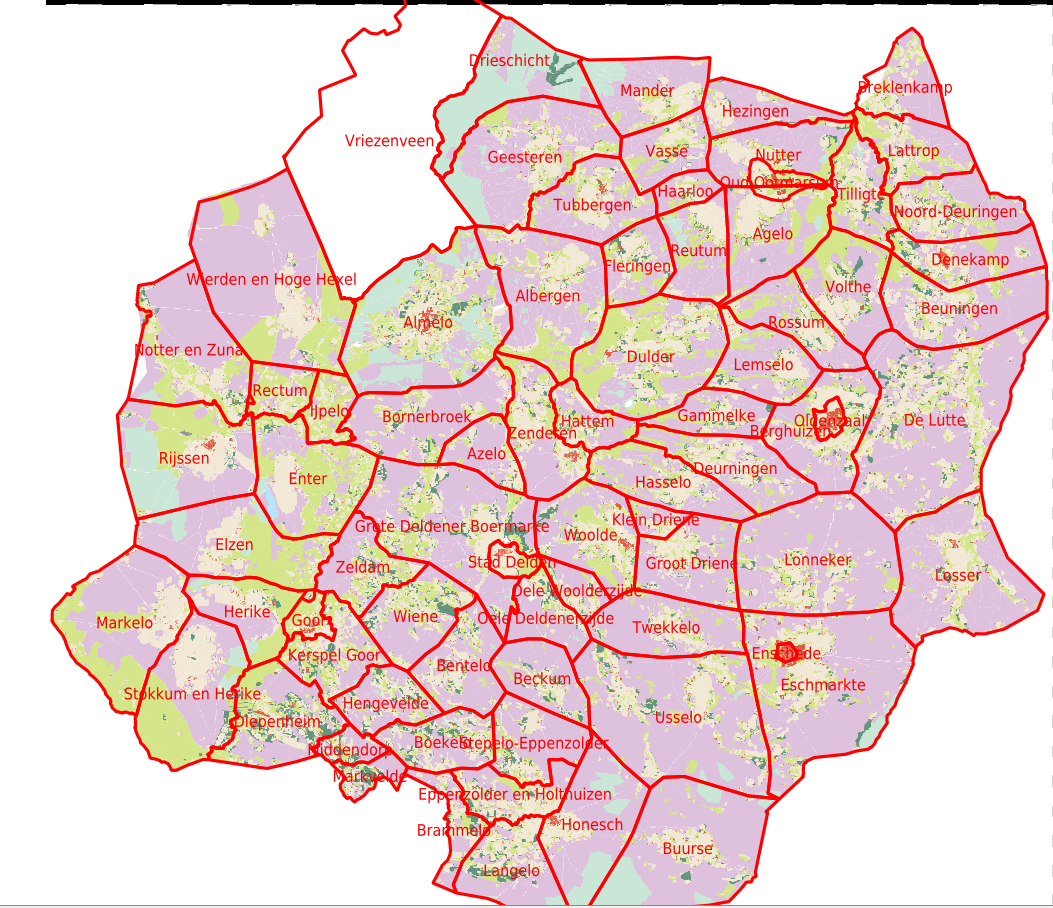
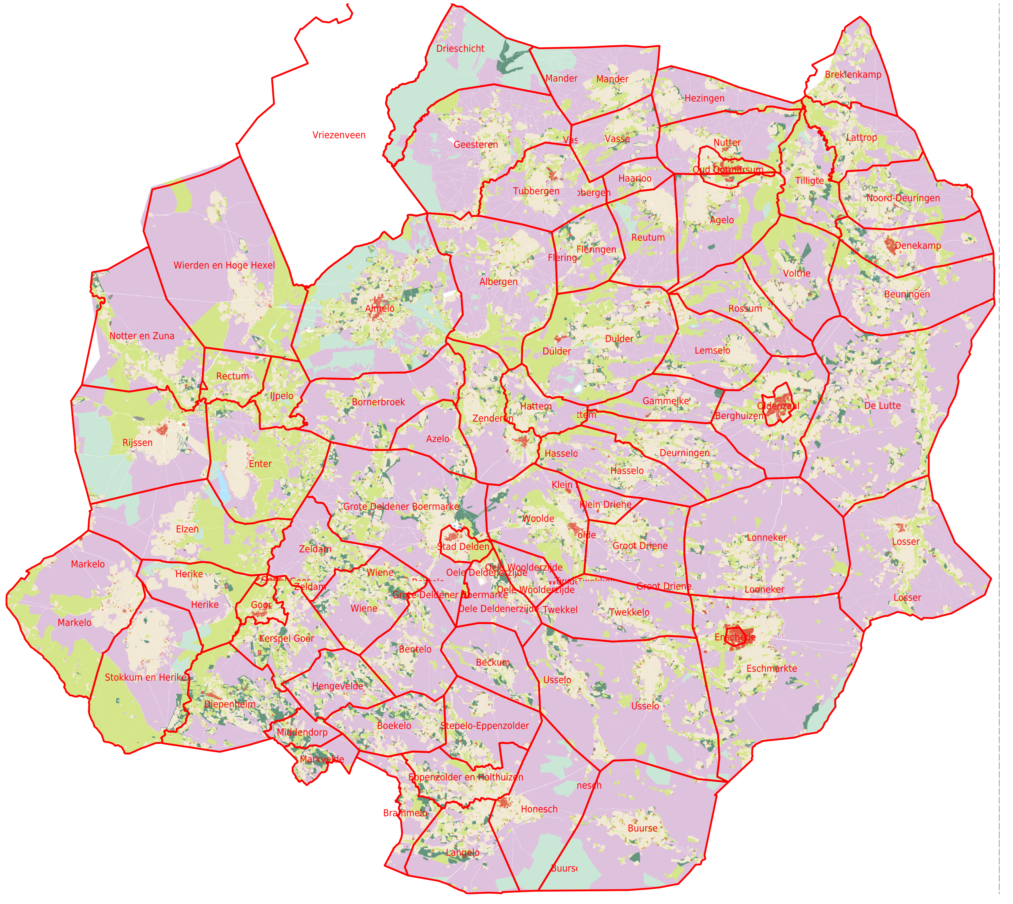
See
https://mapserver.org/mapfile/label.html


On Wed, 16 Oct 2019 at 10:37, Jan Hartmann <j.l.h.hartm...@uva.nl> wrote:

> Hi,
>
> I'm trying to generate high resolution print maps with QGIS, based on a
> MapServer WMS layer. When displayed in the regular QGIS application with
> 72dpi, all looks fine. When using the Print Composer based on the same
> Mapfile, but with 300dpi, some labels are duplicated (not all). Some
> duplicates are clipped. The two versions can be seen here:
>
> https://maps.hisgis.nl/marken_072dpi.png
> https://maps.hisgis.nl/marken_300dpi.png
>
> Below the Mapfile.  Any idea what goes wrong here?
>
> Jan
>
> map
> name Markegrenzen
>
> web
>   metadata
>     "wms_title" "Markegrenzen"
>     "wms_srs" "EPSG:28992 EPSG:3857"
>     "wms_extent"  "13000 301000 279000 620000"
>     "wms_enable_request" "*"
>   end
> end
>
> extent 13000 301000 279000 620000
> units meters
> size 400 400
> resolution 300
> defresolution 72
>
>
> projection
>   "init=epsg:28992"
> end
>
> z
> layer
>   name Markegrenzen
>   status on
>   type polygon
>   connectiontype postgis
>   connection "dbname=ov options='-c search_path=horigheid,public'"
>   data " the_geom from (
>         select gid,the_geom,naam from markegrenzen
>     ) as foo using unique gid using srid=28992
>   "
>   labelitem "naam"
>   class
>     style
>         outlinecolor 255 0 0
>         width 1
>     end
>     label
>         color 255 0 0
>         size 4
>     end
>   end
> end
> end
>
>
> _______________________________________________
> mapserver-users mailing list
> mapserver-users@lists.osgeo.org
> https://lists.osgeo.org/mailman/listinfo/mapserver-users
_______________________________________________
mapserver-users mailing list
mapserver-users@lists.osgeo.org
https://lists.osgeo.org/mailman/listinfo/mapserver-users