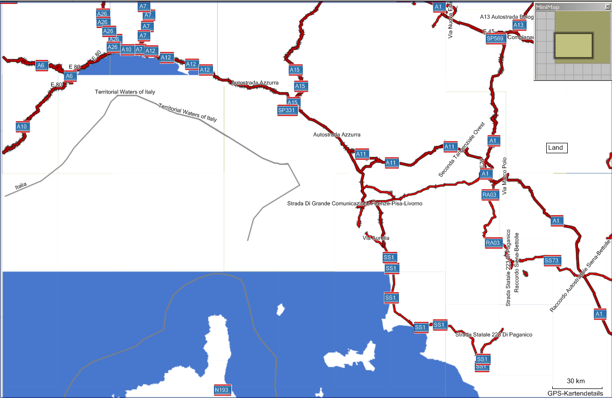
Hi!

I am missing a part of the Ligurian Sea with my generated map. See:
http://www.deltadelta.de/nmz/meer.png
I downloaded today europe.osm.bz2 from geofabrik, cut out a part
(--bounding-box top=50.5 left=8.0 bottom=42.0 right=14.0) with osmosis,
used splitter version 123, mkgmap 1894 with --generate-sea=polygons. My
style file draws land above the sea, so I have normally no problems with
missing sea or flooding.

Can you tell me what I am doing wrong?

Thanks a lot in advance,
Dani

_______________________________________________
mkgmap-dev mailing list
[email protected]
http://www.mkgmap.org.uk/mailman/listinfo/mkgmap-dev