HI
If you are thinking about designing a GUI for a graphical workbench, I
would definitely have a look at the way FME is handling it. I think it
requires a combination of both approaches:
Normally it is a graph-style (connect-the-boxes) GUI

but often it requires in addition:
multiple input/output, control flows, where elements from the
patch-style GUI would come in - eg when patching an attribute from one
source or transformer to a different attribute in a destination dataset
or transformer.
I believe in FME (Safe software) - which is the most well-known GUI
modeler in GIS, it is a combination of both approaches with additional
flow controls transformers (e.g. tester with branches).
I work a lot with FME - it would be very cool to have something similar
for QGIS workflows.
FME workbench is also programmed with qt, by the way.
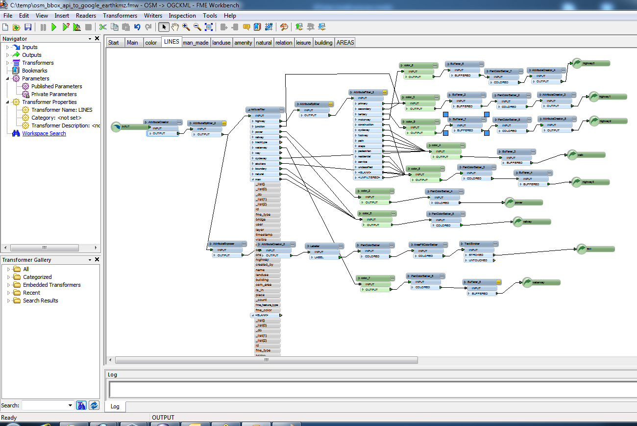
Here is a sample screenshot from FME:
http://2.bp.blogspot.com/-hbqvfB_c758/TjBaqLD3rXI/AAAAAAAAEmM/OYylhGreEVM/s1600/bbox_api_osm_fme.png
Andreas
On Thu, 29 Sep 2011 06:51:54 -0400, Camilo Polymeris wrote:
Hello everyone,

in an earlier thread, the implementation of "analytical workflows"
--sets of modules with linked inputs and outputs-- was discussed.
While this can currently be attained using Python scripts, a GUI to
interactively construct these workflows would be a nice addition to
the userfriendliness of the processing framework.

Two main possible designs for this GUI came up:

Either, a "connect-the-boxes"-style GUI (a graph):

On Wed, Aug 24, 2011 at 4:26 AM, Johan Van de Wauw
<[email protected]> wrote:
Sextante has a nice modeler tool - it may be a good example how it
could work:
http://www.gvsig.com/files/images/screenshots/gvSIG_Sextante_02.png
or, a patchbay-style GUI:
On Tue, Aug 23, 2011 at 9:45 PM, Camilo Polymeris
<[email protected]> wrote:
A bit like qjackctl's patchbay:

http://ubuntu.allmyapps.com/data/q/j/qjackctl-jack-control/UBUNTU-9.04/qjackctlPatchbayForm1.png

It looks tidier and would also be a bit easier to implement than
free-floating boxes.
While the former seems to be a more popular choice among existing
software, I favor the latter option, because it would better handle
numerous I/Os.

Your opinion on this would be appreciated.

Regards,


Camilo
_______________________________________________
Qgis-developer mailing list
[email protected]
http://lists.osgeo.org/mailman/listinfo/qgis-developer
--
--
Andreas Neumann
Böschacherstrasse 10A
8624 Grüt (Gossau ZH)
Switzerland
_______________________________________________
Qgis-developer mailing list
[email protected]
http://lists.osgeo.org/mailman/listinfo/qgis-developer