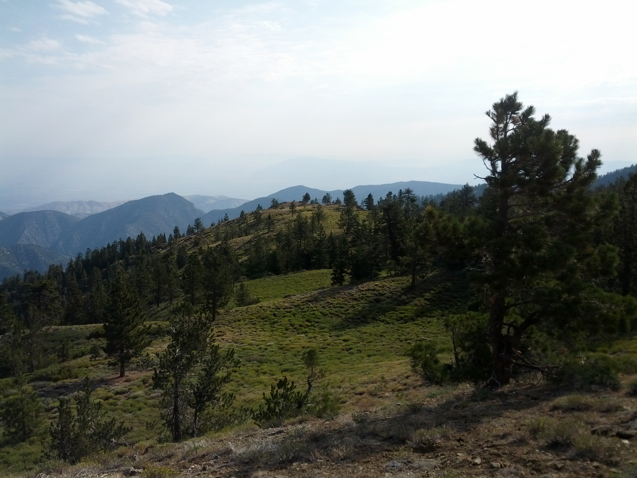
On Wed, September 11, 2013 10:17 am, Christoph Hormann wrote:
> On Wednesday 11 September 2013, Tod Fitch wrote:
>>
>> Drought winter in one area of interest:
>> http://kirnim.smugmug.com/2013Adventures-2/Mt-Pinos-Feb-2013/i-cJXHsL
>>S/0/M/P1110823-M.jpg
>>
>> Summer in another area:
>> http://www.nordicbase.org/files/web_images/sawmill_mtn.jpg
>>
>
> The problem here is that the sizable trees indicate this is not near the
> alpine treeline.  The photos do not allow identifying the plants
> growing there but if this is primarily grasses or primarily small woody
> plants natural=grassland/heath would fit.
>
> If this is mostly open, i.e. the trees only play a minor role it could
> be classified as montane grassland and shrubland:
>
> http://en.wikipedia.org/wiki/Montane_grassland_and_shrubland
>
> This is however a very broad and anything but clearly defined
> classification so hardly suited for tagging.
>
> Greetings,
>
> --
> Christoph Hormann
> http://www.imagico.de/
There are some grasses there but small woody plants predominate in that
area. So that would indicate "heath". But how does one note the
difference, significant to a hiker, that you can easily walk through this
area while the chaparral at lower elevations, properly tagged as "heath"
can not be so easily traversed. Here is a typical bit of low elevation
vegetation in the same area:

http://www.californiachaparral.com/images/555_PS-A-White-Ceanothus.jpg

I don't see any discussion of montane grassland and shrubland in the OSM
wiki. . .

Thanks!
Tod


_______________________________________________
Tagging mailing list
[email protected]
https://lists.openstreetmap.org/listinfo/tagging