Hi everyone,

Rio de Janeiro used to have a 400+km network of tram lines, which was
erradicated back in the sixties. Frequently the tracks were not removed,
but simply covered by a (thin) layer of asphalt, which often is of so bad
quality that you can see the tracks and deduce the tram path even without
looking older maps.
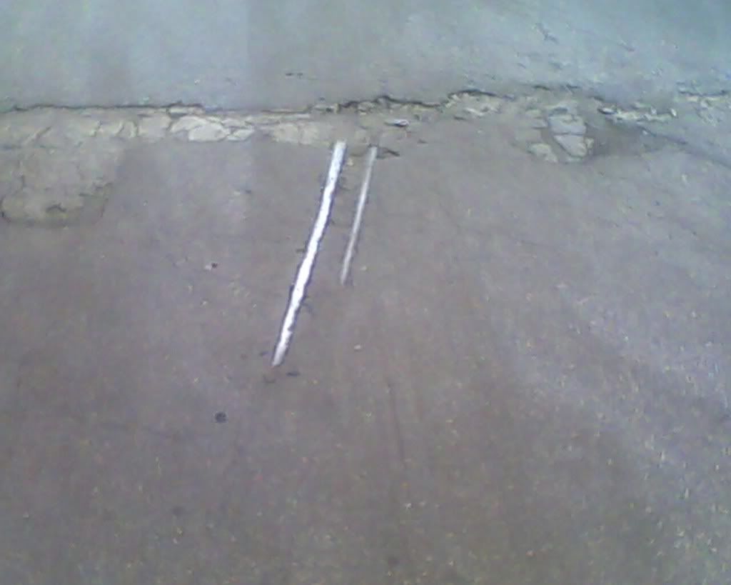
In other times, the street or a part of it has no asphalt covering, just
the old sett/cobblestone cover, and you can see the rails, or at least a
section of them, before they submerge on the asphalt again

Therefore, the rails are still there, just not used.

How would you map those? railway=disused, railway=abandoned or
railway=razed?

It seems to be that railway=disused is ruled out, leaving railway=abandoned
and railway=razed. I'm thinking of mapping the sett parts as
railway=abandoned and asphalt covered parts as railway=razed, because I
could never tell for sure if the rails are still there or not - even if
there's a hole in the asphalt and a rail appears, I can't tell for sure if
a few meters ahead those rails were or were not cut.

Example 1: http://i633.photobucket.com/albums/uu58/nogueiraf/SDC10500.jpg
Example 2:
http://i239.photobucket.com/albums/ff19/Ayuki-san/Trens%20estacoes%20e%20etc/IMG0513A.jpg

Can you spare me your two cents?


Cheers,
Arlindo
_______________________________________________
Tagging mailing list
[email protected]
https://lists.openstreetmap.org/listinfo/tagging