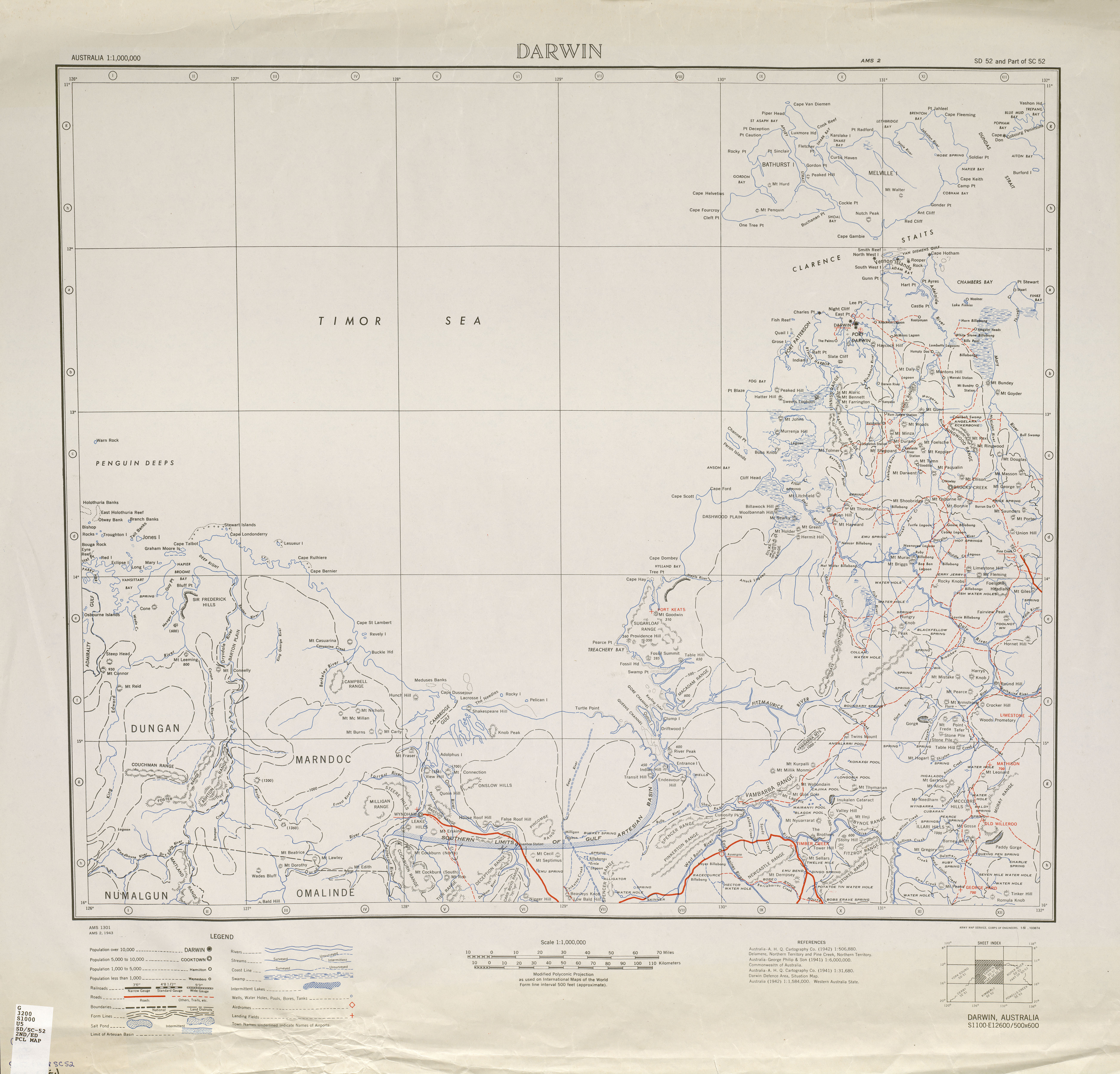
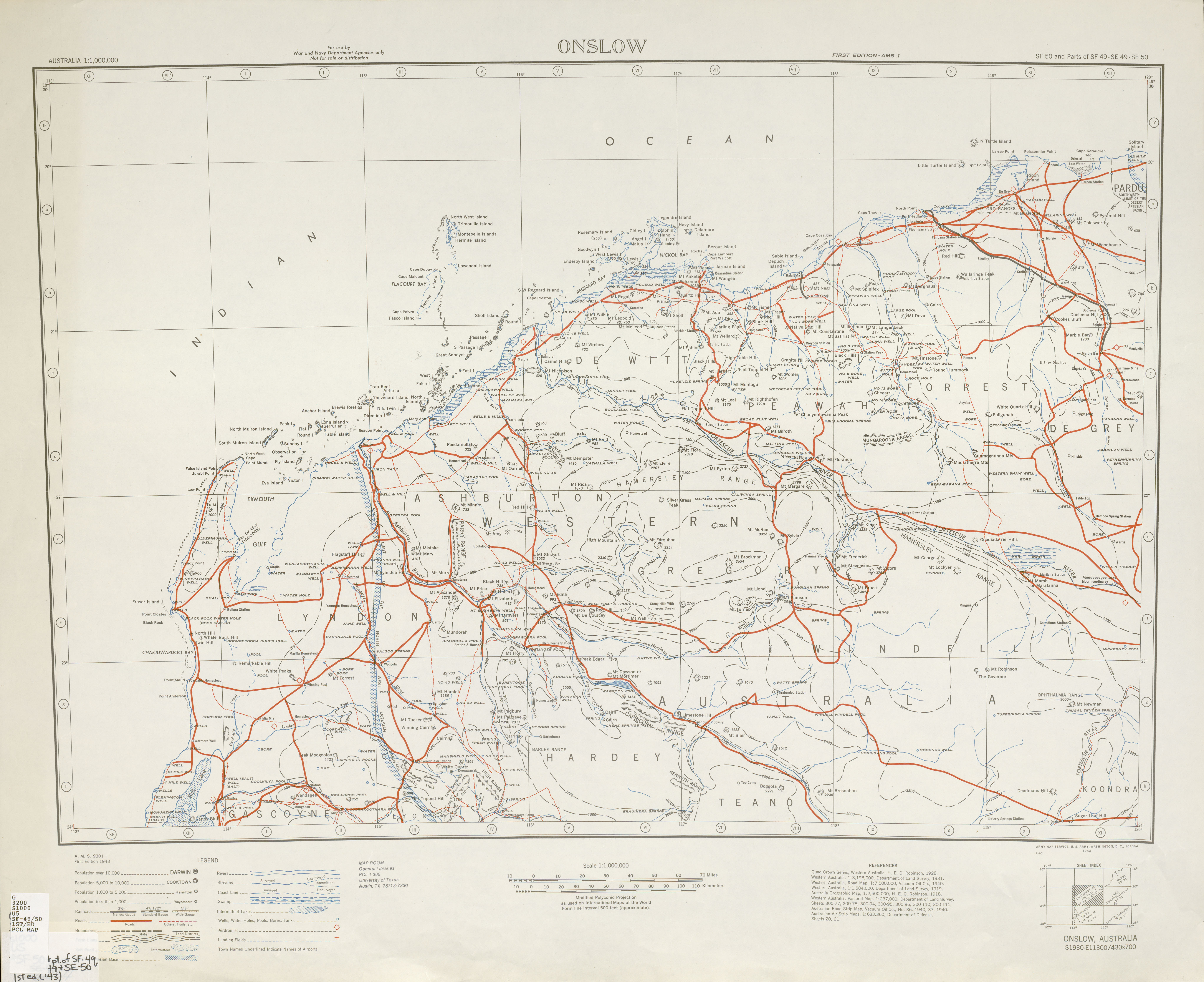
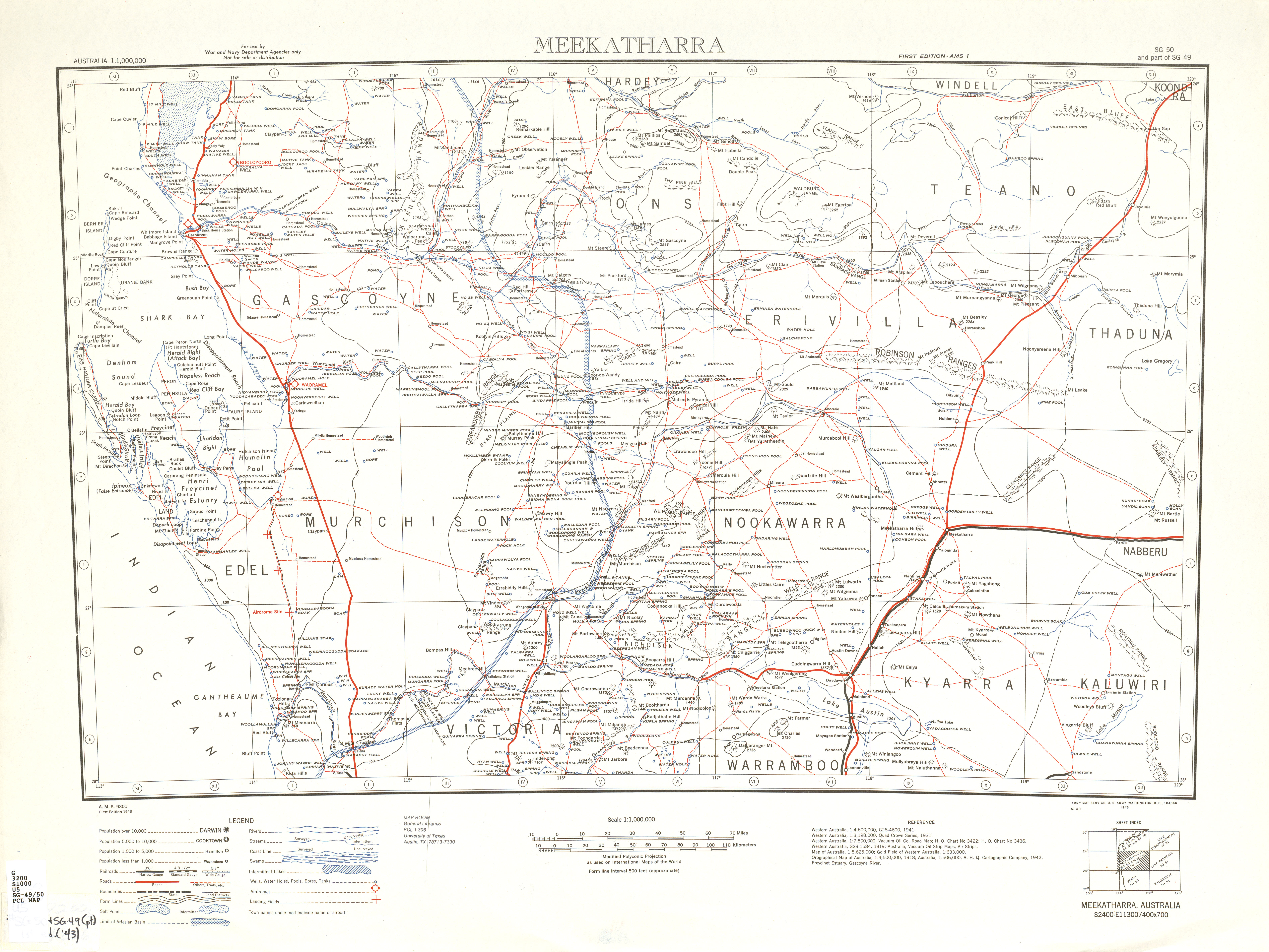
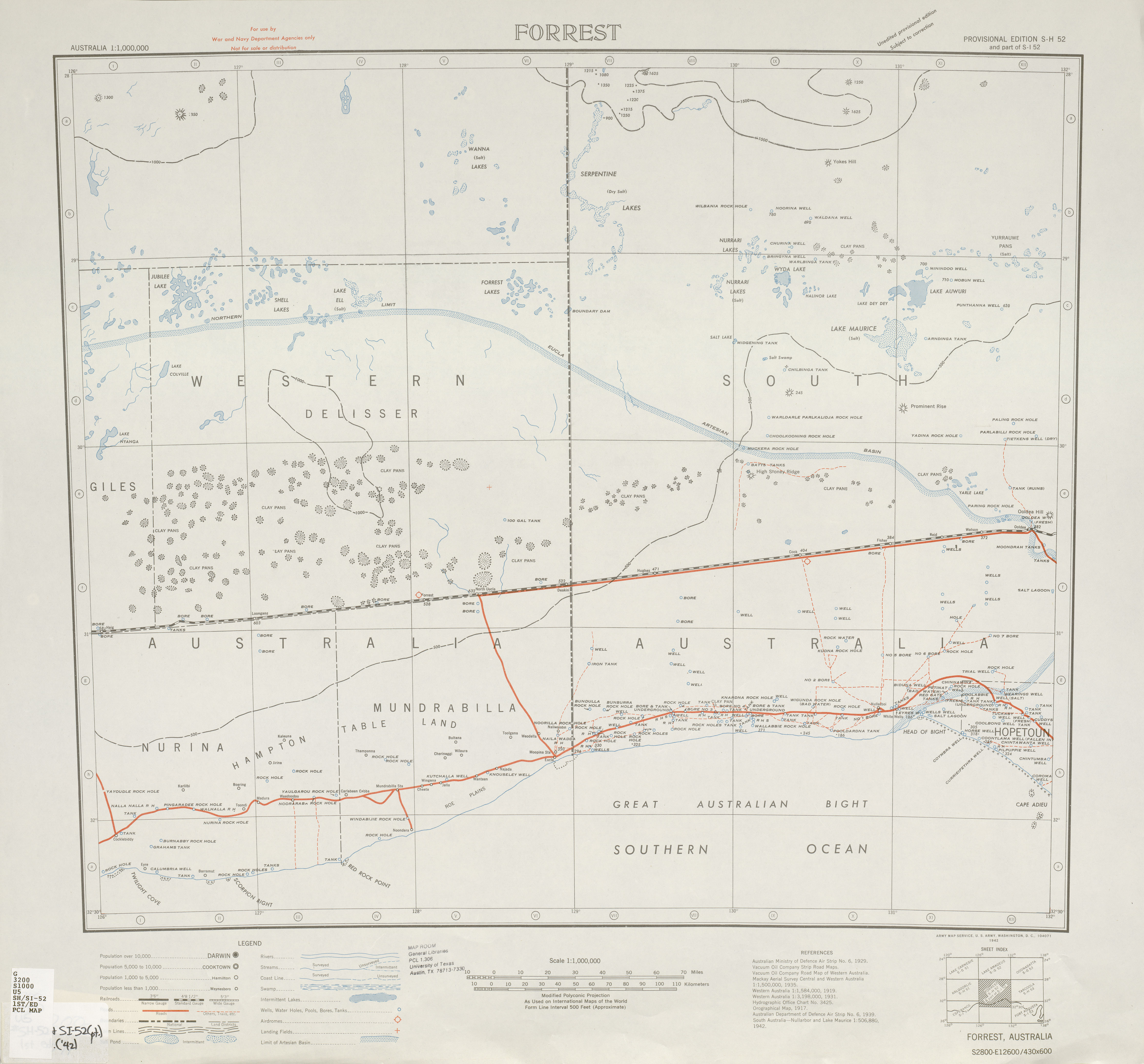
Since US Gov data isn't copyright I thought this might interest some
as there is some Australian maps...
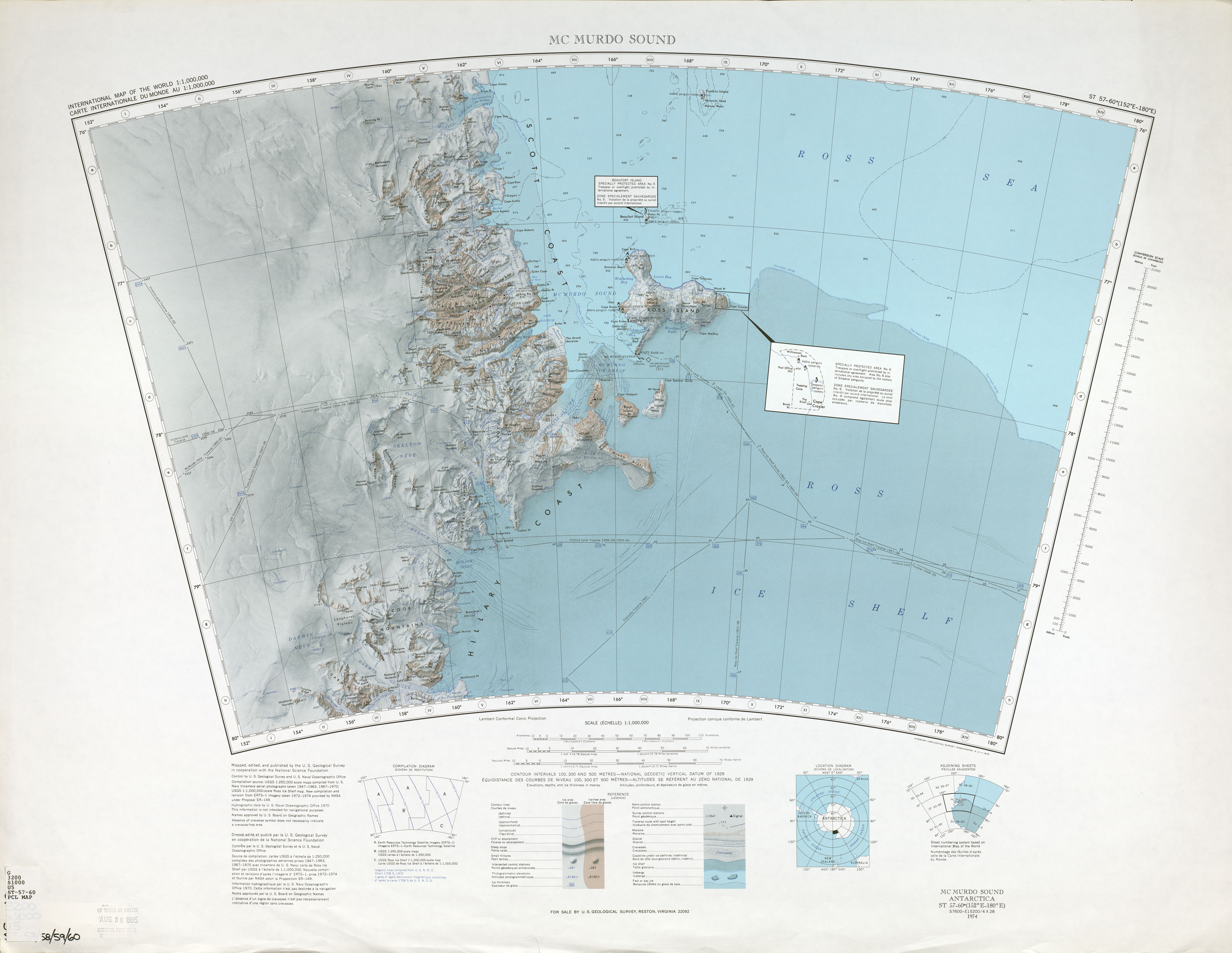
http://www.lib.utexas.edu/maps/imw/txu-oclc-6654394-sd-sc-52-2nd-ed.jpg
http://www.lib.utexas.edu/maps/imw/txu-oclc-6654394-sd-sc-54-2nd-ed.jpg
http://www.lib.utexas.edu/maps/imw/txu-oclc-6654394-sf-49-50-1st-ed.jpg
http://www.lib.utexas.edu/maps/imw/txu-oclc-6654394-sg-49-50.jpg
http://www.lib.utexas.edu/maps/imw/txu-oclc-6654394-sh-si-52-1st-ed.jpg
http://www.lib.utexas.edu/maps/imw/txu-oclc-6654394-st-57-60.jpg


---------- Forwarded message ----------
From: AssetBurned <[email protected]>
Date: 8 May 2010 06:46
Subject: [OSM-talk] old Army Map Service Topographic Maps as WMS ?
To: [email protected]


Hi,

in the german mailing list, one of our fellow mapper posted a link to
the University of Texas Libraries collection of Army Maps.
http://www.lib.utexas.edu/maps/ams/

He asked if it would be a source, he could use to name places in OSM.
So I forward this question and add my own.

Can we use it and would it be possible for someone to convert the maps
into a WMS format?

Even if some of the maps are from the 1940s, it would help to name
places in areas where we doesn't have local mapper or limited
ressources.

cu AssetBurned
_______________________________________________
talk mailing list
[email protected]
http://lists.openstreetmap.org/listinfo/talk

_______________________________________________
Talk-au mailing list
[email protected]
http://lists.openstreetmap.org/listinfo/talk-au