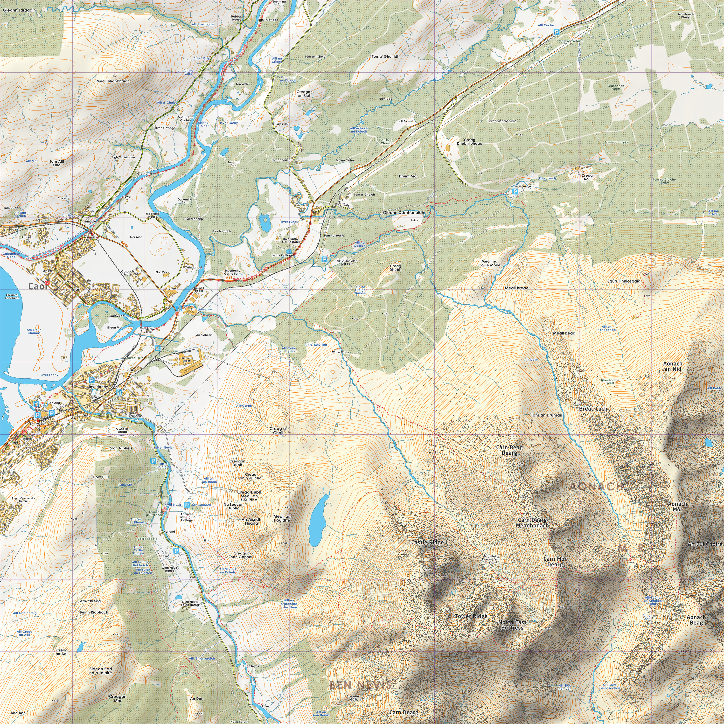
I'm sure that's still missing a few paths off Nevis, mind. (Gorgeous though)
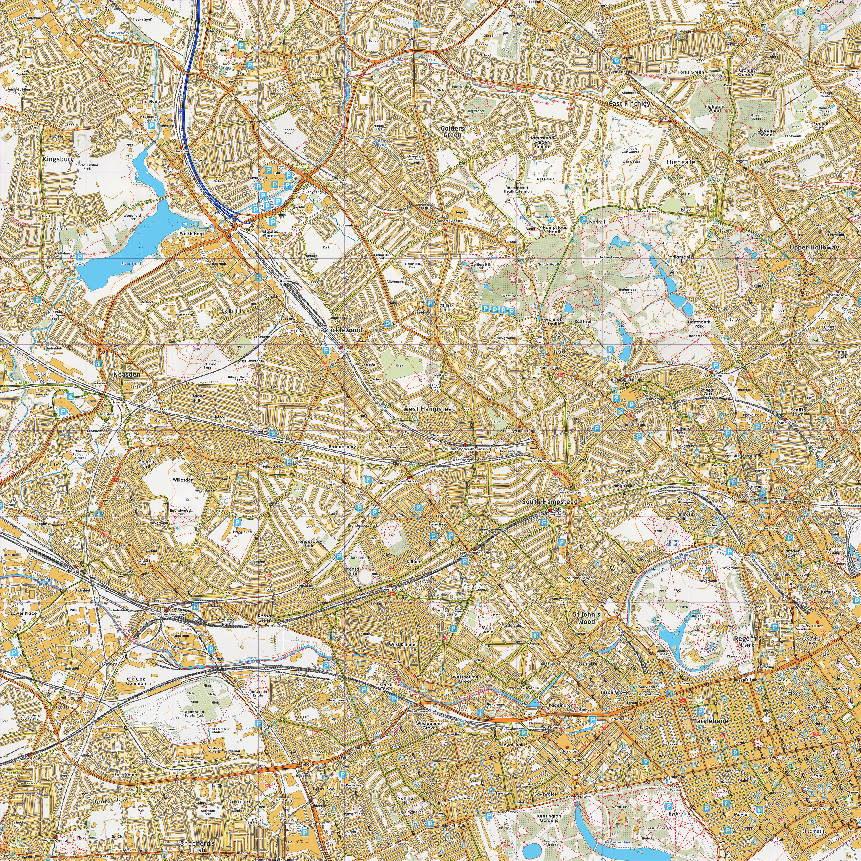
On Fri, Jun 10, 2011 at 12:36 PM, Richard Fairhurst
<[email protected]> wrote:
> Peter J Stoner wrote:
>> Thank you for the photo.  It is the first of the new posters I
>> have seen so it has helped me to check the Traveline and
>> NextBuses references!
>
> :) They're good posters, I like them (though the cartography is a bit...
> utilitarian, shall we say?).
>
>> This use of OSM shows the value of the footpaths to public
>> transport information and the great work done by those who survey...
>> but more use like this does need to have most of the roads on to be
>> credible.
>
> At the risk of stating the blindingly obvious, it is possible to make maps
> out of OS OpenData without importing it into OSM first!
>
> At the risk of stating the
> slightly-less-blindingly-but-still-with-severe-dangers-to-your-sight
> obvious, you can combine OS OpenData with OSM footpaths, and get the best of
> both worlds. Hard (though not impossible) for routing, but trivial for
> cartography. Luke Smith at Grough has done this to staggeringly good effect:
>
>     http://lists.openstreetmap.org/pipermail/talk-gb/2011-March/011105.html
>     http://www.grough.co.uk/lib/documents/tmp/lss/tq28.jpg
>     http://www.grough.co.uk/lib/documents/tmp/lss/nn17.jpg
>
> cheers
> Richard
>
>
>
> --
> View this message in context:
> http://gis.638310.n2.nabble.com/Onward-travel-posters-tp6461416p6461826.html
> Sent from the Great Britain mailing list archive at Nabble.com.
>
> _______________________________________________
> Talk-GB mailing list
> [email protected]
> http://lists.openstreetmap.org/listinfo/talk-gb
>

_______________________________________________
Talk-GB mailing list
[email protected]
http://lists.openstreetmap.org/listinfo/talk-gb