On 28/06/2020 00:47, David Woolley wrote:
On the other hand, there used to be part of the North Yorkshire moors
that had "undefined" written over it on OS maps.)
Interestingly (assuming you're talking about the radar installation at
RAF Fylingdales), at least as of my 2006 copy of OS's OL6 map, the OS
was still lacking some of the detail - the military area is missing yet
clearly signposted onsite, and the bridleway that runs north of the site
is mostly signposted on the ground but mostly missing from the OS map
(in OSM https://www.openstreetmap.org/node/7600885032 and
https://www.openstreetmap.org/way/813719250
<https://www.openstreetmap.org/way/813719250#map=16/54.3745/-0.6582>).
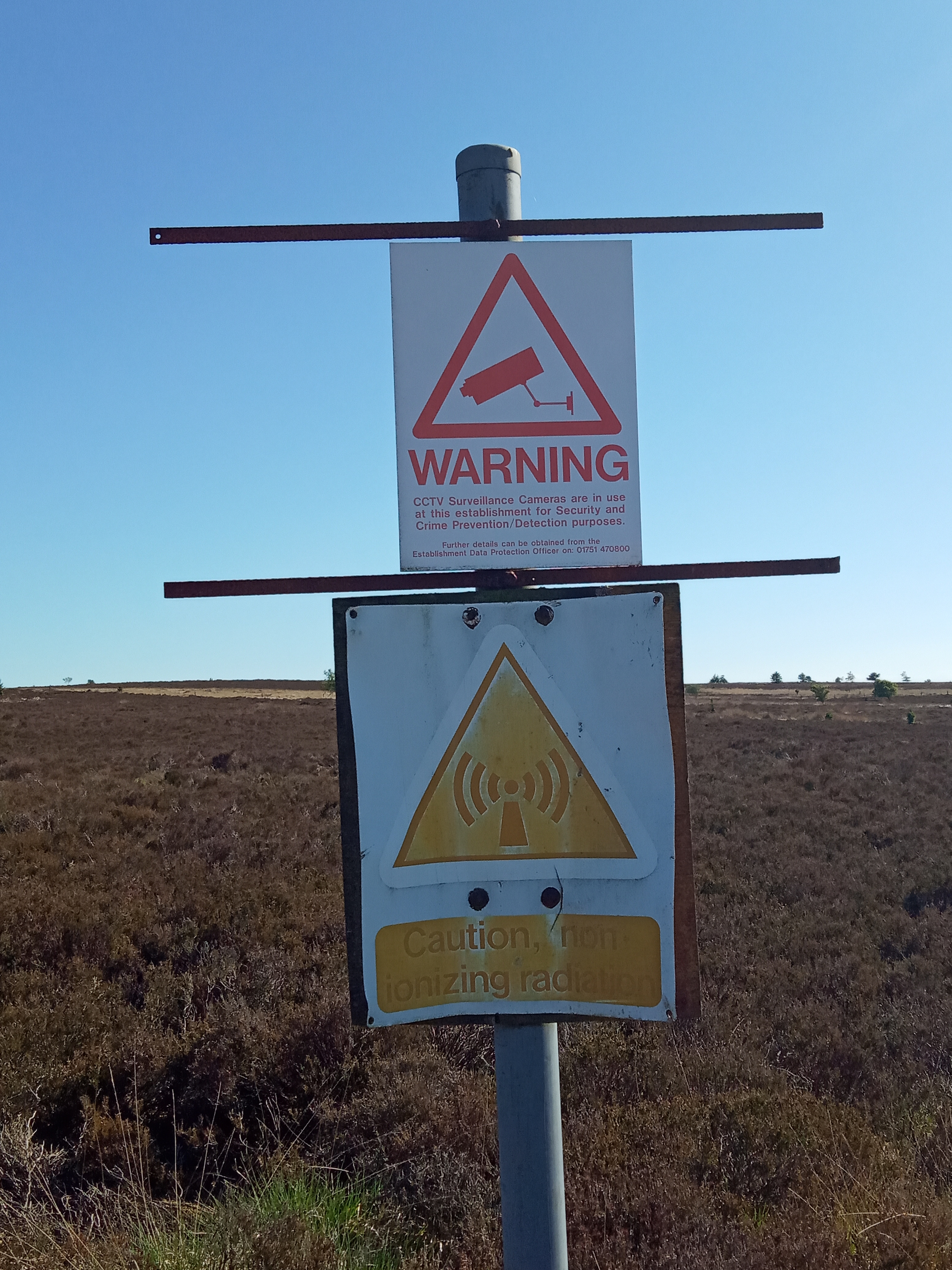
There are still some "odd" signposts around such as
https://map.atownsend.org.uk/tmp/fylingdales/IMG_20200531_163604.jpg ,
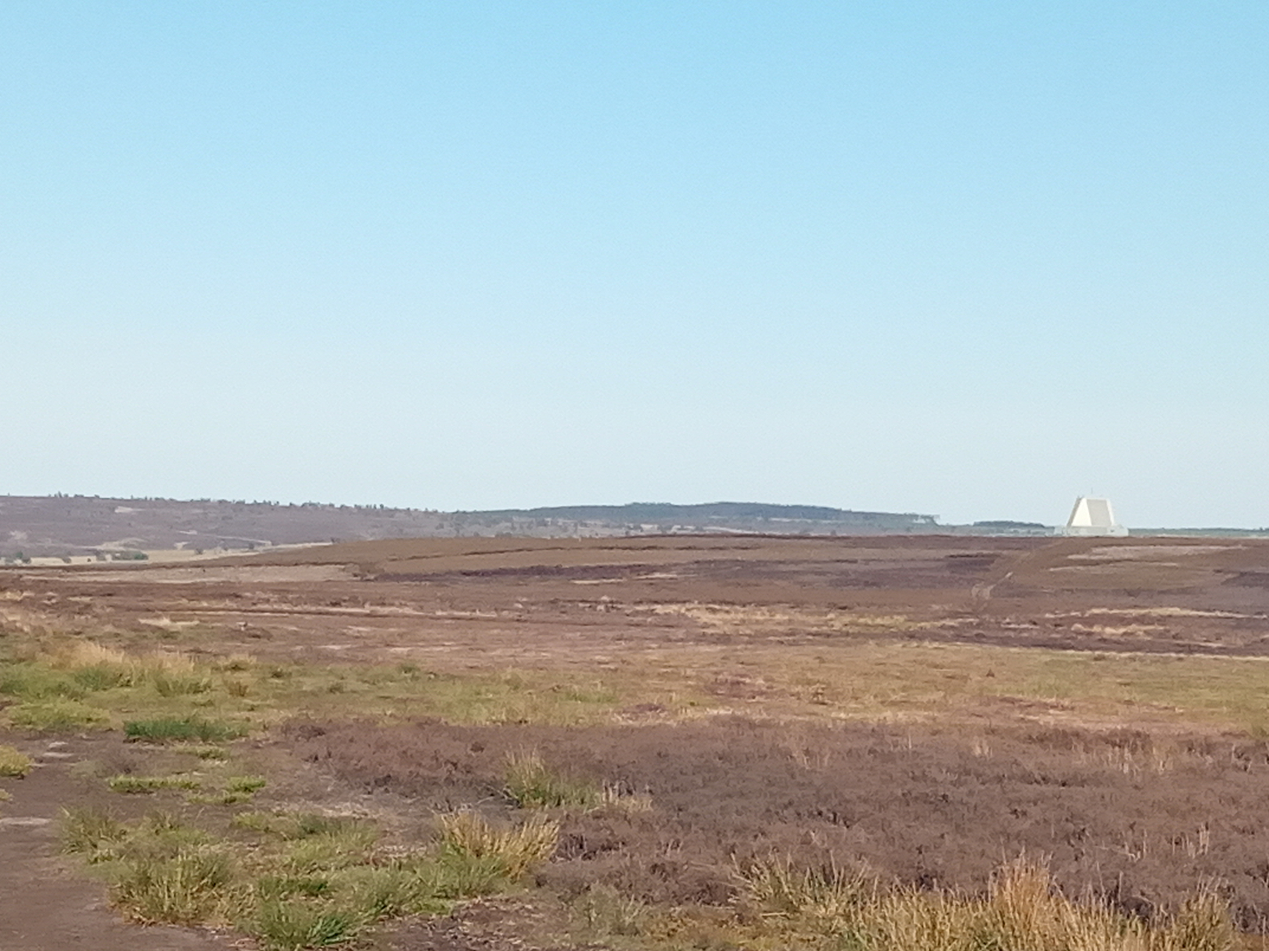
but at least no-one's pretending that there's "nothing there" - it's
fairly obvious in the landscape:
https://map.atownsend.org.uk/tmp/fylingdales/IMG_20200531_183407.jpg .
Best Regards,

Andy
_______________________________________________
Talk-GB mailing list
[email protected]
https://lists.openstreetmap.org/listinfo/talk-gb