Hello,
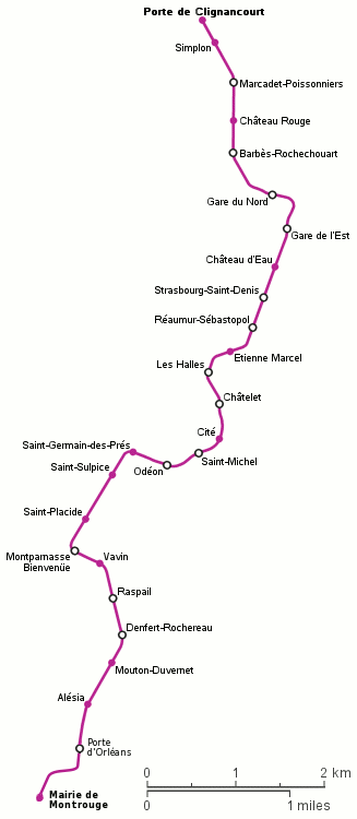
after doing so much work onto bus/tram relations in my city Padova, I'd like
now to extract some geographically exact paths of single routes from OSM
database, possibly in SVG format, and use them on a Padova-PT website I am
going to build soon.
Most of you are probably familiar with
http://78.46.81.38/public_transport.html , and I can already obtain sketches
of the routes, but my aim is to obtain something with this output:
http://upload.wikimedia.org/wikipedia/commons/9/9b/Ligne_4.gif for just a
single line like in the example, or also with more lines (selecting for
example all evening lines, or all Sunday lines). In this case, for a simpler
rendering of everything, the stops aside the way should be coupled together
if they have the same name (as in OPNVKarte) and the corresponding dot
should be part of the drawn route.
I do not have extendend programming skills, therefore I don't know how to
obtain it, can somebody help?
Thanks
Tiziano
_______________________________________________
Talk-transit mailing list
[email protected]
http://lists.openstreetmap.org/listinfo/talk-transit