Yeah, I figured that much out, but what's the magnitude of that vector, and
where does it turn to connect to anything else?  Even OklaDOT swctionals
aren't clear.
On Apr 13, 2014 7:39 PM, "Shawn K. Quinn" <[email protected]> wrote:
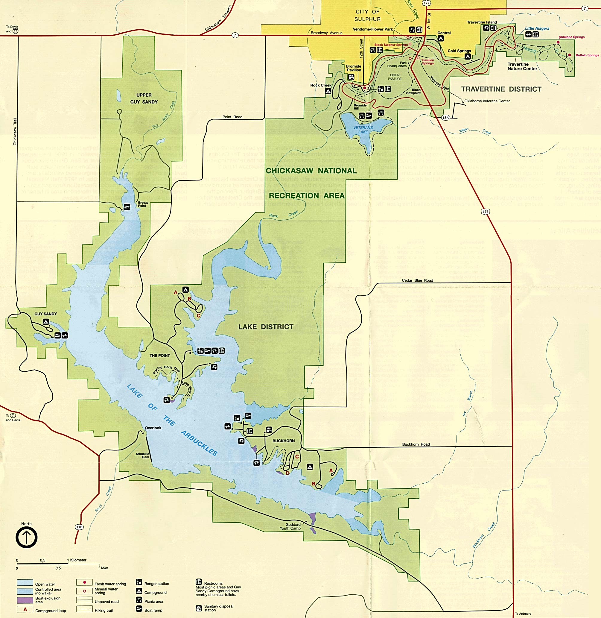
> On Sun, Apr 13, 2014, at 06:48 PM, Paul Johnson wrote:
> > I can't seem to locate this highway except where it starts on an OklaDOT
> > map near the Chickasaw National Recreation Area.  Does anybody have any
> > idea how far it goes or where it connects to the rest of the state
> > highway
> > system?  This one's got me legitimately feeling stupid given I was able
> > to
> > find SH-12...
>
> https://en.wikipedia.org/wiki/Chickasaw_National_Recreation_Area
>
> https://upload.wikimedia.org/wikipedia/commons/b/b1/Chickasaw_National_Recreation_Area.jpg
>
> OK 18A does not connect to the state highway system, only to US 177
> which at one time *used* to be OK 18.
>
> --
>   Shawn K. Quinn
>   [email protected]
>
> _______________________________________________
> Talk-us mailing list
> [email protected]
> https://lists.openstreetmap.org/listinfo/talk-us
>
_______________________________________________
Talk-us mailing list
[email protected]
https://lists.openstreetmap.org/listinfo/talk-us