By the way the SRID for WGS84 UTM32N is 32632, not 36232 as you wrote
(typo?)
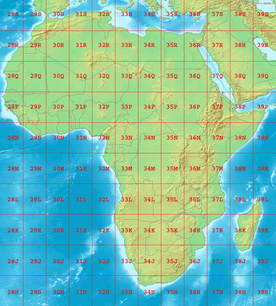
Nicholas Efremov-Kendall schrieb:
> Hi Jan,
>
> Unless I am very much mistaken, http://www.dmap.co.uk/utmworld.htm
> shows Tunisia to be squarely in UTM 32 N. I have ArcGIS and my
> landsatt data for the region all fall into UTM 32 N, which is why I
> believe this is in fact the case.
>
>
> UTM Zone 32 N is also EPSG:32632
>
> http://spatialreference.org/ref/epsg/32632/ so I still don't know what
> going on.
>
> UTM coordinates are arbitrary cartesian points, which basically could
> end up anywhere which is why the UTM zone is needed for the origin.
> The only thing I can think is that yes, there is some issue with the
> projection, but I don't know what.
>
> On Wed, Jun 10, 2009 at 12:38 PM, Jan Martin
> <[email protected] <mailto:[email protected]>> wrote:
>
>     Hi Nicholas,
>
>     your assumption regarding your source UTM Zone beeing UTM 32N is
>     wrong.
>
>     Your coordinates are from Tunisia. And Tunisia is UTM 32S, not UTM
>     32N:
>
> http://upload.wikimedia.org/wikipedia/commons/8/85/LA2-Africa-UTM-zones.png
>
>     But as you can see here EPSG:32632 is the right result of a
>     conversion from UTM Zone 32S to EPSG:
>     http://spatialreference.org/ref/epsg/?search=32632&srtext=Search
>     <http://spatialreference.org/ref/epsg/?search=32632&srtext=Search>
>
>     Question remains why your coordinates from Tunisia are displayed
>     in Algeria.
>
>     I wonder if it is OK to just use EPSG:32632 as a projection for
>     your data, or if one would have to do math on the coordinates to.
>     After all your coordinates have been recorded in *WGS84, UTM 32S.*
>
>     Jan
>
>     On Wed, Jun 10, 2009 at 6:08 PM, Nicholas Efremov-Kendall
>     <[email protected] <mailto:[email protected]>> wrote:
>
>
>         Hello all,
>
>         I believe this is more of a gis question, than for OpenLayers,
>         but the problem manifests itself in openlayers and I'm having
>         some trouble diagnosing it. Jan provided me with some very
>         helpful assistance, which led me to the conclusion that my
>         projection was wrong. I'm trying to display gps point
>         originally recorded in UTM 32N. I had mistakenly believed this
>         was EPSG 22332, but 36232 is actually what I was going for. My
>         problem is this: I have the points overlaid on a wms server
>         (thanks to Jan) but they're in the wrong spot. However, when I
>         change the EPSG code, the points don't move. Does anyone have
>         a suggestion for why they don't move? and or for how to crack
>         this nut.
>         best,
>         Nick
>
>
>         _______________________________________________
>         Users mailing list
>         [email protected] <mailto:[email protected]>
>         http://openlayers.org/mailman/listinfo/users
>
>
>
> ------------------------------------------------------------------------
>
> _______________________________________________
> Users mailing list
> [email protected]
> http://openlayers.org/mailman/listinfo/users
>


--
*Thomas Maschler*
AFC International
**
Programme d'appui au PSFE (ProPSFE)
Expert Forestier/ SIG/  Télédétection
www.cameroun-foret.com
Coopération Technique Allemande/German Technical Cooperation
B.P. 7814 Yaoundé
Cameroun/ Cameroon

T : + 237 22 21 94 57/ 22 21 06 51
M : +237 74 44 01 60
F : +237 22 21 26 89


_______________________________________________
Users mailing list
[email protected]
http://openlayers.org/mailman/listinfo/users