On 2012-12-18 16:52, Denny Vrandečić wrote:
Thank you for your comments, Marco.
NP
2012/12/18 Marco Fleckinger <marco.fleckin...@wikipedia.at
<mailto:marco.fleckin...@wikipedia.at>>

    On 2012-12-18 15:29, Denny Vrandečić wrote:

        * Time: right now the data model assumes that the precision is
        given on
        the level "decade / year / month" etc., which means you can
        enter a date
        of birth like 1435 or May 1918. But is this sufficient? We
        cannot enter
        a value like 2nd-5th century AD (we could enter 1st millenium
        AD, which
        would be a loss of precision).

    Sometimes we do not have exact dates for an events, because they are
    in future, like the opening of the airport Berlin/Brandenburg ;-)

    So in this case it would be great to have property values like N/A
    for "not available" for some parts. A date could then look like May,
    N/A 1435.


The current model allows to set a precision to a specific level. In that
case you would set it to "Month" and say May 1435.

    Expressions like 2nd to 56h century could easily be expressed by
    using tolerances. This would then look like 300 AD ± 200 years,
    which will is (max+min)/2 ± |(max-(max+min)/2)|.


This on the other hand would be a completely different system for
precision (the one that we are using for numbers, actually), where have
an uncertainty. The problem with uncertainty and time is that neither
years nor months nor almost anything have uniform length. So we would
need to save both the uncertainty and the unit of the uncertainty, which
would make the model more complex. This would be a viable solution, I guess.
I'd use the same unit as tha base – its 300 years AD so the uncertainty
is also measured in years.
        * Geo: the model assumes latitude, longitude and altitude, and
        defines
        altitude as over mean sea level (simplified). Is altitude at all
        useful?
        Should it be removed from Geolocation and be moved instead to a
        property
        called "height" or "altitude" which is dealt with outside of the
        geolocation?

    Altitudes are for sure very important. Maybe not in Germany but for
    Austria I know several altitudes. It's very interested for passes,
    mountains, cities, villages, wells of brooks, etc.

    How will you create a list of the highest mountains without an
    altitude of their highest peaks (Phase 3)? Or even one for the
    lowest passes for crossing the alps.


The question is not whether we need an altitude at all. The question is
whether it should be part of the Geolocation datavalue or if it should
be in a property of its own. If you want to have a list of the highest
mountains, you would actually sort them by the height-property.
A list of the highest mountains with their peaks within a specific area?
    Look at the articles for living creatures. Often there is mentioned
    from which to which altitude they can be found. There we also have
    it twice. But here we do not have geolocations.

    IMHO it would be make sense to have something hybrid. The datatype
    for geolocation should accept something like a NAN-value for
    optional altitudes. But it should also be possible to use altitudes
    without longitude and latitude.


Why would it make sense to have both?
The answer is below.
What is the altitude in the
geolocation good for?
Peaks of mountains e.g. are geolocated with an altitude. Also passes,
some events, places where something scientific was found or took place.
Is there an example in Wikipedia where it is or
would be used, and where a property of its own would not be better?
E.g. preventing having one geolocation and multiple altitudes. A list of
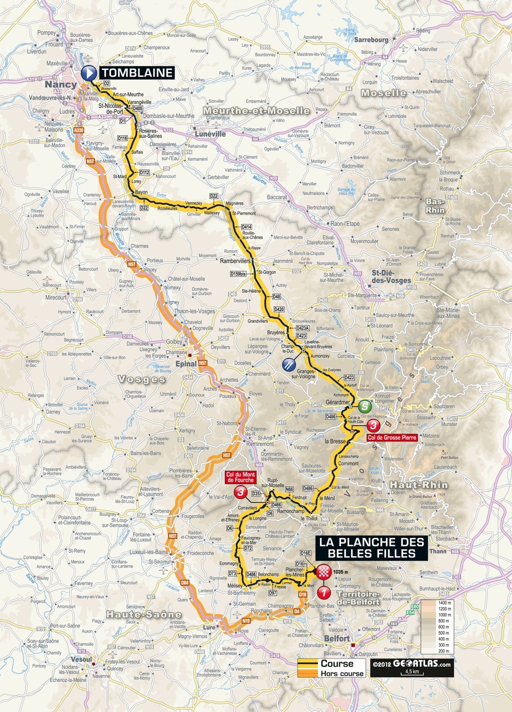
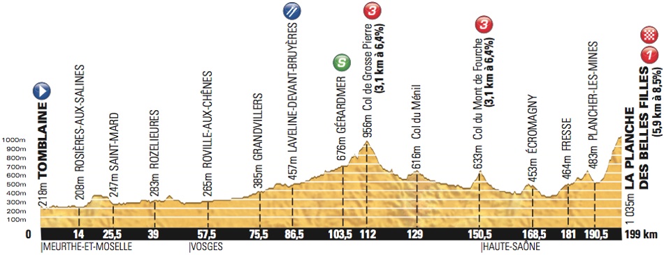
point on one section of the Tour de France should contain all point
where each one should contain all three components, because they belong
together. The place is always mentioned with the altitude.
    So we can store something like


http://www.grassyknolltv.com/__2012/tour-de-france/resources/__maps/ETAPE%2007%202012.jpg

<http://www.grassyknolltv.com/2012/tour-de-france/resources/maps/ETAPE%2007%202012.jpg>

http://www.grassyknolltv.com/__2012/tour-de-france/resources/__profiles/profile-07.jpg

<http://www.grassyknolltv.com/2012/tour-de-france/resources/profiles/profile-07.jpg>

    which is both about the 7th stage of the Tour de France 2012, just
    in different views. Providing the possibility to store seperate
    altitudes allows us to store properties like "grows at altitudes
    from 1800 to 2200 meters above sea level".

    Separate altitudes is possibly very similar to lengths of snakes
    which is also measured in meters and has also to value just in
    another dimension.


Exactly.


        * Units are currently planned to be defined on the property page
        (as it
        is done in SMW). So you say that the height is measured in Meter
        which
        corresponds to 3.28084 feet, etc. Wikidata would allow to
        defined linear
        translations within the wiki and can thus be done by the
        community. This
        makes everything a bit more complicated -- one could also imagine to
        define all dimensions and units in PHP and then have the properties
        reference the dimensions. Since there are only a few hundred
        units and
        dimensions, this could be viable.

        (Non-linear transformations -- most notoriously temperature --
        will get
        its own implementation anyway)

        Opinions?

    IMHO it would make sense to use the [[International System of
    Units]] for internal storage. It is not consequently used in other
    realms, not even in the German spoken countries (PS vs. kW for
    cars). Maybe it would be possible to use small scripts (such as
    WP-templates) to transcalc values, which can easily be developed by
    the community.


Internally we would translate it, yes, otherwise the numbers would not
be comparable. But for editing we need to keep the unit of the source /
of the editor, or else we will loose precision.
+1

Cheers

Marco

_______________________________________________
Wikidata-l mailing list
Wikidata-l@lists.wikimedia.org
https://lists.wikimedia.org/mailman/listinfo/wikidata-l