thanks Thej. I figured that the layers were 'embedded' in the map tiles
themselves rather than being rendered separately browser-side. but wasnt at
all sure how to proceed from there.
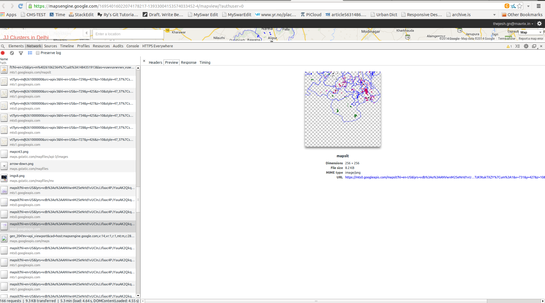
the dynamic maps engine layer solution that you suggested definitely seems
worth a shot. will give it a try...

Avinash
 On May 5, 2014 5:50 PM, "Thejesh GN" <[email protected]> wrote:

> Here is what I could figure:
>
> The layers are defined in the javascript :
> https://gist.github.com/thejeshgn/fe9853115b2b7cbc7d50#file-cluster-json
>
> And it is displayed using the Javascript
> https://gist.github.com/thejeshgn/fe9853115b2b7cbc7d50#file-mapviewer-js
>
>
> All the layers of type GOOGLE_MAPS_ENGINE
> And when you check the map viewer code, it creates an object of
> *google.maps.visualization.MapsEngineLayer* to display the maps,
> documentation of which is at
>
>
> https://developers.google.com/maps/documentation/javascript/mapsenginelayers
>
> With the following note:
>
> *The MapsEngineLayer constructs tiles server-side and returns the tiles to
> the client. Use this class if you don't want to re-style the Maps Engine
> data on the client side.*
>
> I did check the response to confirm, here is one of the tile:
> https://s3.amazonaws.com/media.thejeshgn.com/img/screenshot/tiles.png
>
>
>
>
> *What we can do:*
>
> On the same page using inspector construct DynamicMapsEngineLayer
>
> *The DynamicMapsEngineLayer (experimental) returns vector data to your
> client, along with the base map tiles. Your application can change the
> vectors' styling in response to user input or other triggers.
> (The DynamicMapsEngineLayer class is not supported in Internet Explorer 8
> and below.)*
>
> And then on the client side download it.?? Not sure if this reverse
> engineering works. Its not a bad idea to try.
>
>
>
>
>
>
>
> Thej
> --
> Thejesh GN *⏚* ತೇಜೇಶ್ ಜಿ.ಎನ್
> http://thejeshgn.com
> GPG ID :  0xBFFC8DD3C06DD6B0
>
>
> On Mon, May 5, 2014 at 3:48 PM, Avinash Celestine <
> [email protected]> wrote:
>
>> Hi all
>>
>> Needed some help
>>
>> I just wanted to know if it was at all possible to retrieve the data
>> (geometries etc) underlying the map linked to on this page (2nd link). Its
>> a mapping of all JJ clusters in Delhi
>>
>> http://delhishelterboard.in/main/?page_id=3644
>>
>> Usually, when you load a page, among the files retrieved from the server
>> is typically a geojson file etc which has the underlying geometries, but it
>> doesnt seem so in this case. Do tell me if such a thing is possible  - or
>> for that matter, not possible
>>
>> regards
>>
>> Avinash
>>
>> --
>> For more details about this list
>> http://datameet.org/discussions/
>> ---
>> You received this message because you are subscribed to the Google Groups
>> "datameet" group.
>> To unsubscribe from this group and stop receiving emails from it, send an
>> email to [email protected].
>> For more options, visit https://groups.google.com/d/optout.
>>
>
>  --
> For more details about this list
> http://datameet.org/discussions/
> ---
> You received this message because you are subscribed to the Google Groups
> "datameet" group.
> To unsubscribe from this group and stop receiving emails from it, send an
> email to [email protected].
> For more options, visit https://groups.google.com/d/optout.
>

--
For more details about this list
http://datameet.org/discussions/
---
You received this message because you are subscribed to the Google Groups
"datameet" group.
To unsubscribe from this group and stop receiving emails from it, send an email
to [email protected].
For more options, visit https://groups.google.com/d/optout.