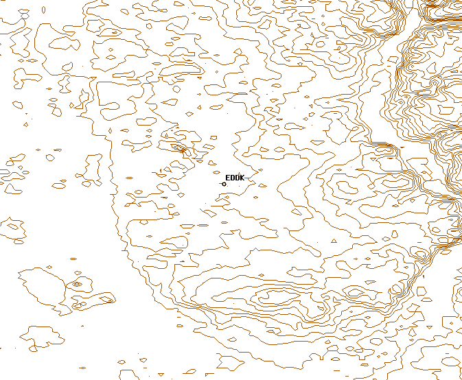
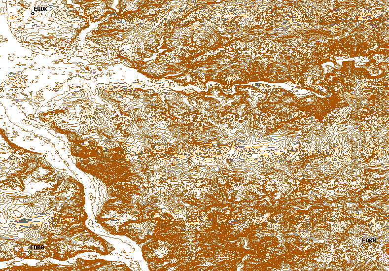
Just for the record, two other 'shots' of the EDDK area:

  http://foxtrot.mgras.net/bitmap/FGFS/EDDK-contour_01.png
  http://foxtrot.mgras.net/bitmap/FGFS/EDDK-contour_02.png
The second one shows the valley of the river Rhine in the west as well
as the junction with the Mosel at Koblenz in the SW-corner.

This is a nice example of QGIS showing different layers from different
sources: The airfield locations from our Web Mapping Server at

  http://mapserver.flightgear.org/

and a local shapefile that contains the contour lines.

Regards,
        Martin.
--
 Unix _IS_ user friendly - it's just selective about who its friends are !
--------------------------------------------------------------------------

-------------------------------------------------------------------------
Take Surveys. Earn Cash. Influence the Future of IT
Join SourceForge.net's Techsay panel and you'll get the chance to share your
opinions on IT & business topics through brief surveys - and earn cash
http://www.techsay.com/default.php?page=join.php&p=sourceforge&CID=DEVDEV
_______________________________________________
Flightgear-devel mailing list
[email protected]
https://lists.sourceforge.net/lists/listinfo/flightgear-devel