Vassilis Chryssos wrote:
> Hello all.
>
> This is what I'm trying to achieve: I have a topographical chart (curves
> that depict the height of a territory) which I want to use as a
> heightmap for blender. Blender uses gradient grayscale images to raise
> the pixels of a plane according to the "whiteness" of each pixel (i.e.
> the white pixel will be raised to the higher level, whereas black pixel
> will remain to the bottom. The in-between pixels will be raised
> according to their value of white).
> With this in mind someone must create a grayscale gradient image out of
> the topographical chart.
> Could someone suggest a smart way to apply grayscale gradient to the
> image according to the height specified by the curves?
>
> My map resembles this one:
> http://www.atsdr.cdc.gov/HAC/PHA/alaskap/apc-f3.gif
>
> And the result I am trying to achieve resembles this one:
> http://img.photobucket.com/albums/v291/americanfishguy/Buildings/Australia.png
>
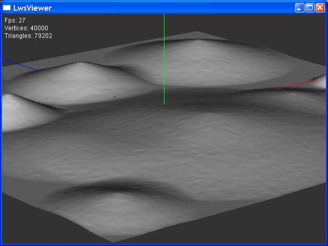
> The blender effect I want resembles this one:
> http://gchen.sdf-eu.org/Chengine/Images/Screenshots/HeightMap.jpg
Maybe a big ask, Hessain *might* do part of it for you


http://freshmeat.net/projects/hessiangtk/?branch_id=61861&release_id=213079


Owen
_______________________________________________
Gimp-user mailing list
[email protected]
https://lists.XCF.Berkeley.EDU/mailman/listinfo/gimp-user