To hopefully help troubleshoot; I just reprojected one of the raster tiles
(from epsg: 3857), into the source location of one of the lonlat vectors
(reverse projections from my OP), and the datasets are offset by the same
distances. Since the dimensions of the raster are being changed (by r.proj), it
leads me to think it must be a datum or coordinate system misalignment and not
a projection issue.
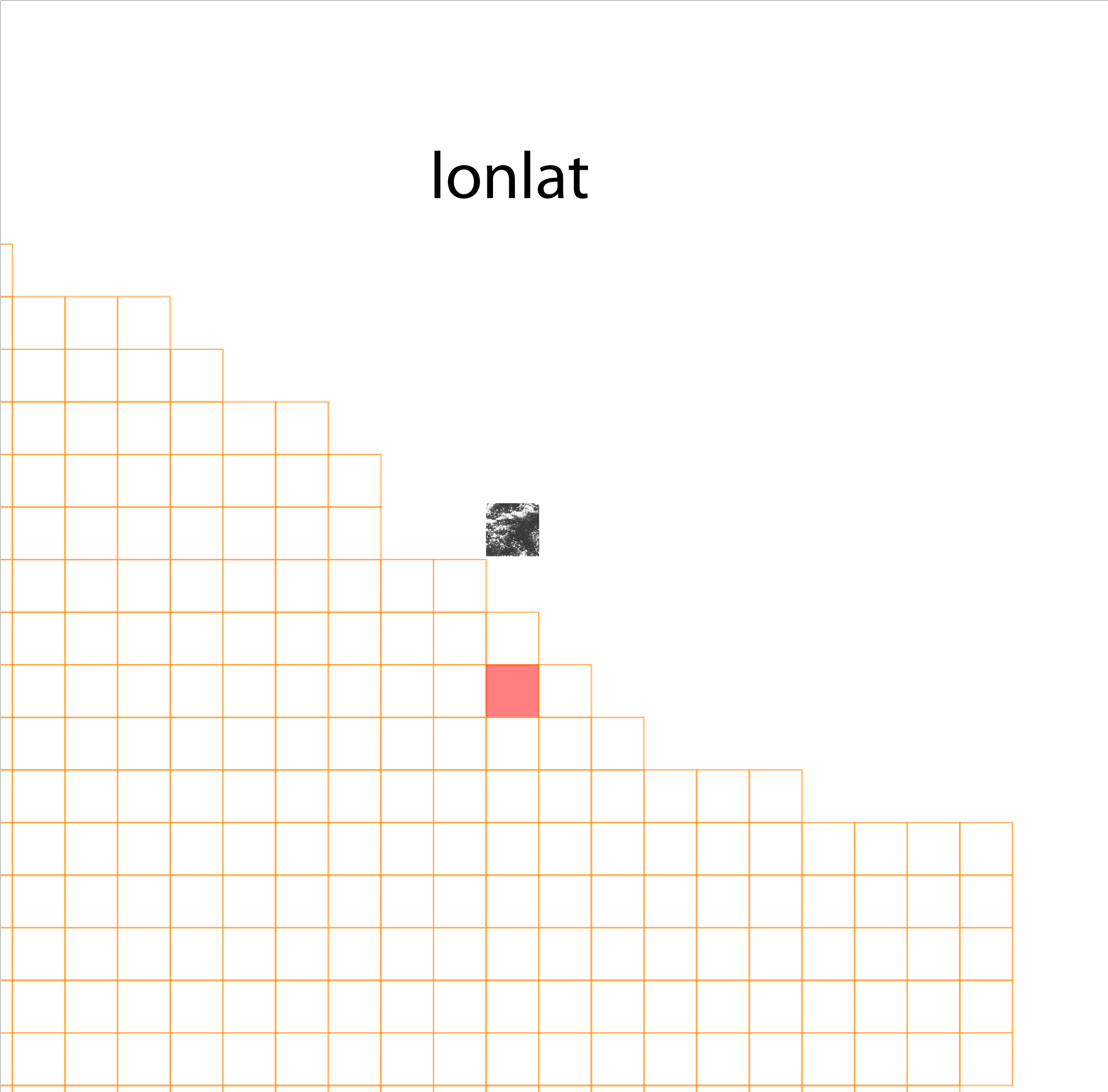
For example, here is a test raster tile in the Comp Projection (epsg: 3857):
http://3DTOPO.com/epsg_3857.png

And in the reverse lonlat projection: http://3DTOPO.com/lonlat.png

(the raster tile should be located in the red area in both examples)
_______________________________________________
grass-user mailing list
[email protected]
https://lists.osgeo.org/mailman/listinfo/grass-user