On Tue, Aug 22, 2017 at 7:46 PM, Jeshua Lacock <[email protected]> wrote:
>
> To hopefully help troubleshoot; I just reprojected one of the raster tiles
> (from epsg: 3857), into the source location of one of the lonlat vectors
> (reverse projections from my OP), and the datasets are offset by the same
> distances. Since the dimensions of the raster are being changed (by r.proj),
> it leads me to think it must be a datum or coordinate system misalignment and
> not a projection issue.
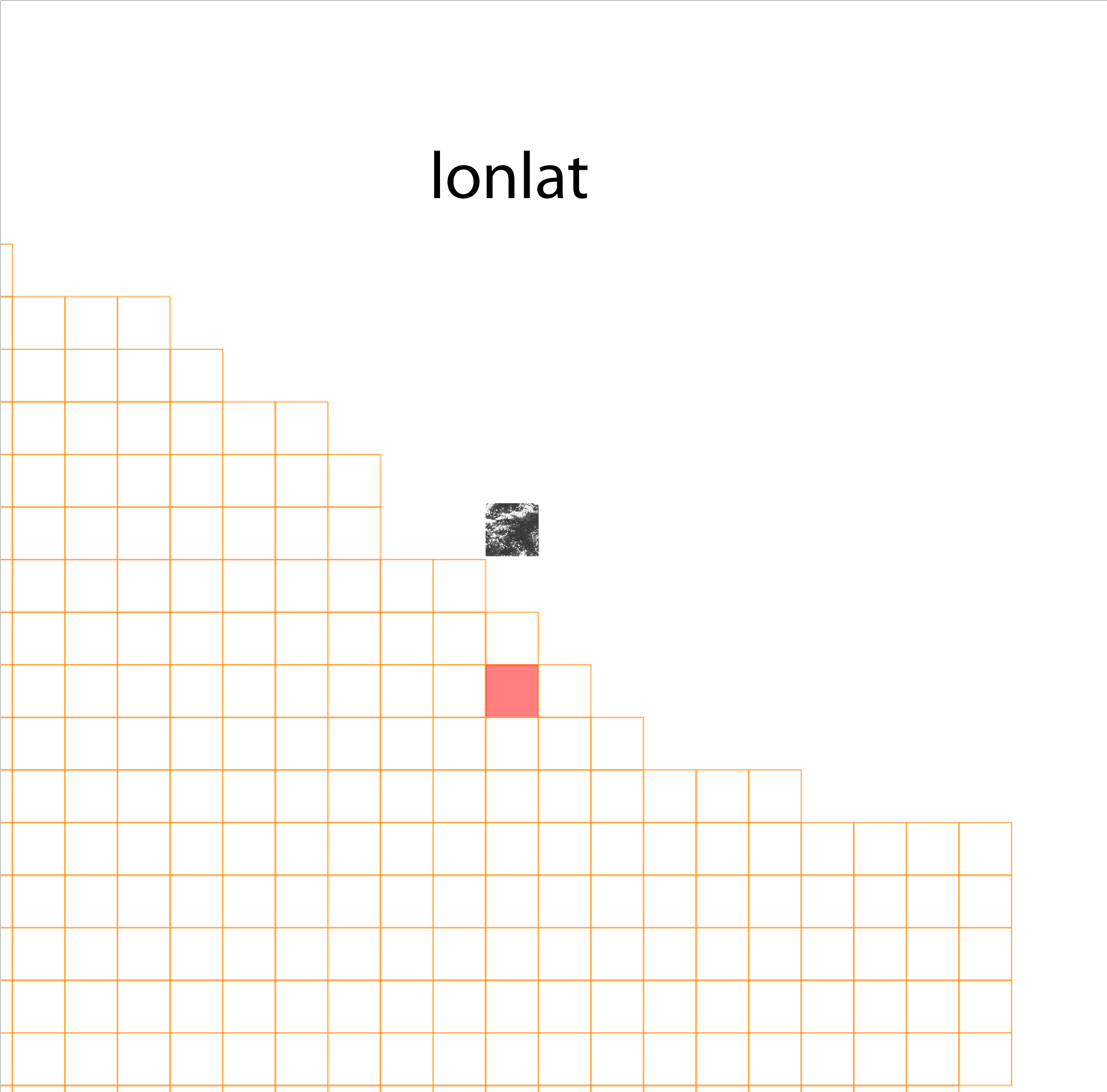
I have the same problem, working with NAIP imagery. It is related to:
https://trac.osgeo.org/grass/ticket/2229

I have to remove nadgrids: @null from the PROJ_INFO file to be able to
reproject into that location, but then it is shifted. gdalwarp helps.

>
> For example, here is a test raster tile in the Comp Projection (epsg: 3857):
> http://3DTOPO.com/epsg_3857.png
>
> And in the reverse lonlat projection: http://3DTOPO.com/lonlat.png
>
> (the raster tile should be located in the red area in both examples)
> _______________________________________________
> grass-user mailing list
> [email protected]
> https://lists.osgeo.org/mailman/listinfo/grass-user
_______________________________________________
grass-user mailing list
[email protected]
https://lists.osgeo.org/mailman/listinfo/grass-user