Did you check if GpxDrawHelper.gpxDataChanged is called? This is where the
GPX drawing cache is reset.
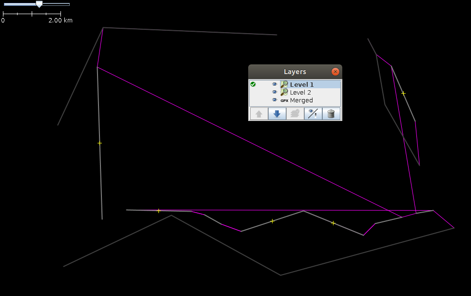
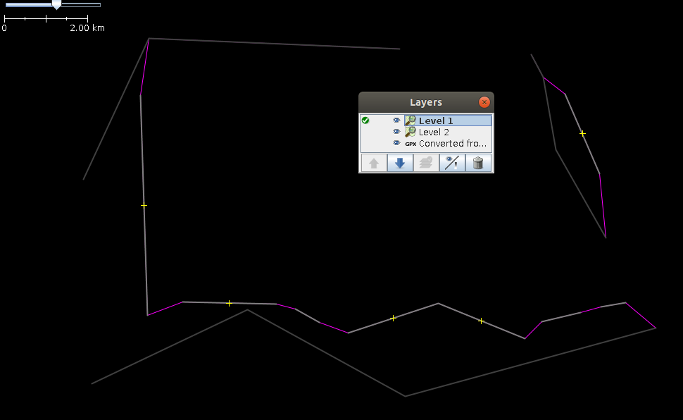
Le sam. 15 sept. 2018 à 15:25, Niklas B <[email protected]> a écrit :

> ... and this is why I hate mailing lists.
> How it looks like after merging:
> http://fs5.directupload.net/images/180915/n57lqu5o.png
> And after converting back and forth:
> http://fs1.directupload.net/images/180915/bjg4nn5a.png
>
> Sorry for the mess
> Niklas
>
> Am So., 16. Sep. 2018 um 01:20 Uhr schrieb Niklas B <
> [email protected]
> >:
>
> > Am Sa., 15. Sep. 2018 um 22:41 Uhr schrieb Dirk Stöcker <
> > [email protected]>:
> >
> >> Maybe your troubles come from the fact that JOSM has different settings
> >> for local and server based GPS data (i.e. distances for continuous track
> >> handling)?
> >
> >
> > No, unfortunately not. All tracks were loaded locally and the connected
> > points don't really make any sense at all, on productive data I had
> > connected trackpoints that were multiple months apart and on the other
> side
> > of the globe... (just for clarification btw: My implementation cuts
> > timewise overlapping tracks)
> >
> > Here's an example (it looks that weird because I'm planning on using it
> > for unit tests and it's supposed to cover pretty much every specific
> case,
> > e.g. entire "high level" track segments being between two waypoints of a
> > "low level" track etc.)
> >
> > This is how it looks like directly after merging:
> >
> >
> > And this is how it's supposed to look like / how it looks after
> converting
> > it back and forth:
> >
> >
> > The GpxData is correct, at least when being exported, so I'm pretty sure
> > it's some kind of caching / rendering issue...
> >
> > But if nobody has an idea I'll just finish the patch first, maybe someone
> > finds the bug after I published it. I just thought that there might be
> some
> > kind of caching somewhere that I wasn't aware of.
> >
> > Cheers
> > Niklas
> >
>