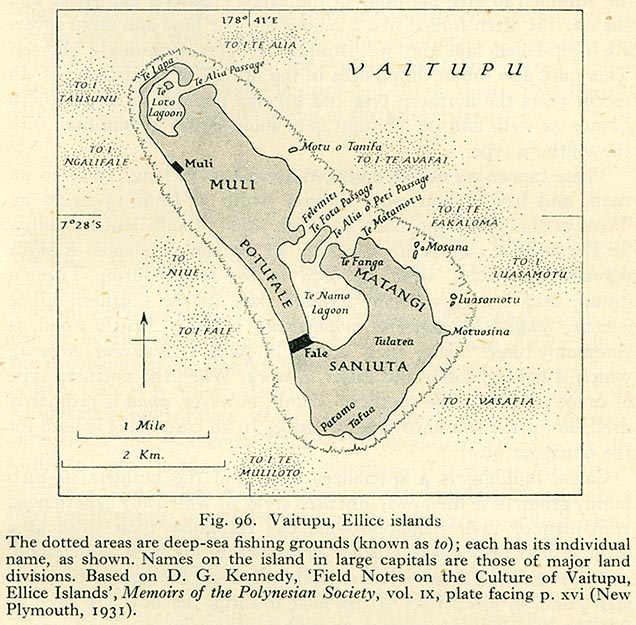
I found this free map:
http://upload.wikimedia.org/wikipedia/commons/0/06/Vaitupu_ellice_islands.jpg
Who can help me to get its coastline in osm?
I have inserted it as rectified image in josm. Now one could draw a few
hundred nodes manually, but thats a dumb job.
I am shure there is someone who knows how to import vectordata.
I know, how to convert the bitmap to an svg in inkscape does that help?

Thank you so far,

--
Jonas Stein <[email protected]>


_______________________________________________
newbies mailing list
[email protected]
http://lists.openstreetmap.org/listinfo/newbies