I've wondered about this for a while. There is a need to map these
features both within large gardens (particularly those which are tourist
attractions), parkland, campus locations and even typical townscapes.
For reference I wrote about botantical gardens some time ago:
http://sk53-osm.blogspot.com/2013/09/a-quartet-of-botanical-gardens.html
My working notes on which features may need to be mapped are here
<https://wiki.openstreetmap.org/wiki/User:SK53/Garden> . Please note
that although I use the key garden (by analogy to things like golf), I
am aware that this probably clashes far too much with existing usage,
and that another key will be needed.
I'm currently looking fairly intensively at these features in my local
university campus. Looking for something else I came across detailed
plans for planting of areas associated with new buildings including
lists of plants and layout by the landscape designer. My starting point
was to check my identifications of plants
<https://twitter.com/SK53onOSM/status/1222163049798361088/photo/2>, but
of course I now have a good place to try out any tagging scheme.
The main components are:

 * Regular beds, often alongside a path of building. Some are planted
   with perennial herbs, but many are planted with shrubs, and
   increasinly ornamental grasses are used.
 * Areas of wild flowers. These are predominantly native wild flowers,
   introduced in a special turf (£20 sq m) rather than the mixes which
   are commonly described as wild flower which are usually colourful
   annuals from North America. These areas are only cut once a year.
 * Numerous lawns, amenity grassland and a playing field (recreation
   ground area)
 * Many low hedges planted with Yew (so-called "instant hedge" ordered
   by the metre), various cultivars of Cherry Laurel, various Berberis
   species, Box-leaved Honeysuckle, Christmas Box. Some of these grade
   into areas of shrubs.
 * A few taller hedges planted with a mix of native species
   (Blackthorn, Hazel, Hawthorn, Rose).
 * Shrub areas including smallish trees (Magnolia, Wintersweet),
   Bamboos, low-spreading Juniper and Spanish Gorse. More extensive
   single species plantings of Cotoneaster, Hazel and various Dogwoods
   Cornus.
 * A major tree avenue planted with Scholar's Tree (was Sophora
   japonica but has changed it's name).
 * Numerous specimen trees & areas more densly planted with trees to
   the point they can be mapped as woods
 * Some trees (not many) are planted in tree pits and the area of the
   pit is covered with a non-climbing Ivy
 * Many smaller buildings have climbers planted at their foot with a
   trellis attached to the building. In these cases the associated bed
   is small.
 * Large specimen plants which are notionally herbs. Notably New
   Zealand Flax Phormium and Pampas Grass Cortaderia selloana.
 * Wetland planting (Phragmites, Typha, Carex) now more or less
   entirely naturalised and thus suitable for natural=wetland tagging.
 * Planting interspersed with ornamental pebbles
 * A very small number of containers (planters) and raised beds
 * Limited areas of persistent tall herb vegetation (mainly close to
   wetland features) something where I dont think we have a commonly
   used natural tag.
 * Extensive areas around the fenced perimeter which have may be from
   1-5 m thick consisting of a mix of small trees, large shrubs and
   other woody plants (Brambles, Honeysuckle, Agave). This would
   originally have been a border planted at regular intervals with
   shrubs (Cherrylaurel, Acuba, Forsythia, Elder) which gradually
   became overgrown with self-sown plants (Cherries, Sycamore, Birch,
   Bramble) and plants escaping from adjoining gardens. At a stretch
   this could be described as natural=scrub.
Having written this list I obviously ought to turn it into a blog post
and illustrate each of these feature.
Jerry

On 09/02/2020 02:33, Joseph Eisenberg wrote:
In the discussion about `barrier=hedge` areas, it is clear that
mappers want a way to tag small areas of bushes and shrubs, and not
everyone is happy about using natural=scrub for this case.
Currently there is a tag landuse=grass for small areas of managed
grass, but this might be considered to exclude other non-woody herbs.
And leisure=garden is usually considered the whole area of a garden,
rather than being limited to a certain type of vegetation.
I would suggest that we need a more developed system of tags for
micro-mapping small areas of plants, not just woody-stemmed bushes and
shrubs, but also semi-annuals, herbaceous perenials (e.g. in the
tropics) and annual flowers and herbs.
This would also help with problems like using village_green for all
sorts of areas: see discussions and examples in
https://wiki.openstreetmap.org/wiki/Talk:Tag:landuse%3Dvillage_green
Rather than just discussing how the tag small areas of bushes or
hedges, how about how to tag this area of flowers:
https://wiki.openstreetmap.org/wiki/File:Vg6.jpg
Or a garden bed planted with these:
https://www.thaigardendesign.com/bird-of-paradise-strelitzia/ - or
these:
https://www.wikilawn.com/flowers/ornamental-red-ginger-plant-alpinia-purpurata/
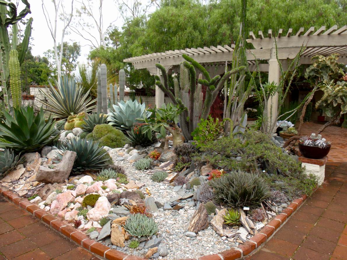
Or this bed full of succulent plants, in a semi-arid region:
https://www.finegardening.com/app/uploads/sites/finegardening.com/files/images/spotlight-collection/resize_of_pa230150.jpg
Are people micro-mapping areas such as these?
How specific should the tagging be?
- Joseph Eisenberg
_______________________________________________
Tagging mailing list
[email protected]
https://lists.openstreetmap.org/listinfo/tagging
_______________________________________________
Tagging mailing list
[email protected]
https://lists.openstreetmap.org/listinfo/tagging