Hi

(This amalgamates replies to Markus's points in his last post.)
On 30/04/2019 18:34, Stephen Sprunk wrote:
A platform is where people wait to board; if they stand at a pole
(typical for buses), then the pole is logically the platform.
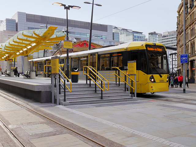
This reinforces my point about misappropriation of tags. A platform is a
physical construction higher than the surrounding ground to allow easier
boarding.
A platform:
https://s0.geograph.org.uk/geophotos/04/76/30/4763016_2416f5ee.jpg

Not a platform:
https://i.pinimg.com/originals/38/90/a0/3890a0f451e1a6900d174b29125b3c80.jpg
If (& I believe it's a big if), a separate tag is required to as you &
Markus suggest, one with a unique, non-confusing value should be used.
Many public_transport=platform are tagged on the same node as
highway=bus_stop. They have no raised construction Therefore they're
redundant - routing can use the bus stop tag for the "stop node beside the
road" as Markus described it.:
https://www.openstreetmap.org/node/469760546#map=19/51.51026/-0.18630
That's easily distinguished from large platforms because it's a node
rather than a way/area.
Not really. To save time, contributors occasionally combine tags onto a
single object: litter_bins, shelters, benches *&* raised platforms in
the case of bus stops. I'm not saying it's the correct/best way to map,
but it happens.
I think the idea was that nobody _could_ build routers with the data
we had, which was inconsistently tagged between areas and sometimes
even between mappers in the same area.
This maybe true, but as I point out in my previous post, adding extra
tags only masks the problems. The "inconsistencies" should be corrected.
If you're trying to construct a route that involves walking to a bus
stop, riding the bus to another stop, and then walking some more, then
you need a linkage connecting the bus route (using stop positions)
with the walkways (using platforms). I'm not saying that's the only
way to do it, but it's the only way that was proposed.
Do you have an example as I'm unsure what you mean by 'walkways' and
platforms are disconnected from the bus routes, as are bus stops, so, as
I said above, PT can use bus stops.
Markus previously said "OsmAnd Is able to navigate with routes
consisting only of highway=bus_stop beside the road."
So, to be absolutely sure we're singing from the same hymn sheet, are we
agreed that 'public_transport=platform' tag to represent a place where
vehicles stop to allow passengers to alight, is redundant in PT as
another, existing, more prevalent tag - 'highway=bus_stop' can be used
instead?
Cheers
DaveF


_______________________________________________
Talk-transit mailing list
Talk-transit@openstreetmap.org
https://lists.openstreetmap.org/listinfo/talk-transit