Hello everyone,

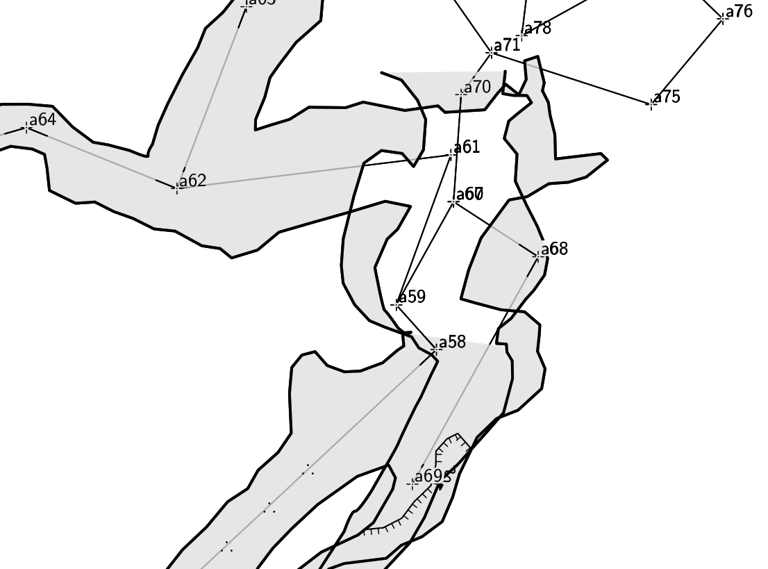
I am trying to do a multilevel map in Therion and for some reason i can't
figure out how to get dashed wall lines to appear. Attached is a screenshot
of my area in question. There is a plumb shot from a60 to a67, and that's
where the confusion starts. a67+ should all be below, and even though this
data is in therion, it does not seem to understand that. Is there a
directive I should be using to accomplish this?
Thanks in advance!!!!

Will

--
Will Urbanski
-------------- next part --------------
An HTML attachment was scrubbed...
URL:
<http://mailman.speleo.sk/pipermail/therion/attachments/20110819/34b50f98/attachment.html>
-------------- next part --------------
A non-text attachment was scrubbed...
Name: therion-funkyfloor.png
Type: image/png
Size: 134485 bytes
Desc: not available
URL:
<http://mailman.speleo.sk/pipermail/therion/attachments/20110819/34b50f98/attachment.png>
-------------- next part --------------
A non-text attachment was scrubbed...
Name: ddc.tgz
Type: application/x-gzip
Size: 707078 bytes
Desc: not available
URL:
<http://mailman.speleo.sk/pipermail/therion/attachments/20110819/34b50f98/attachment.bin>