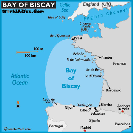
Could we try an example to see whether mappers agree on bay areas ? could
you draw the Gulf of Biscay on a map ?
This guy did it :
http://1.bp.blogspot.com/_-9_Y031ZiZQ/THowBMn81dI/AAAAAAAACi8/inSvDDa1DC4/s1600/Golf+van+Biskaje.jpg

I might have extended it a bit further to the west on the Spanish coast...

regards

m

On Wed, Oct 29, 2014 at 6:12 PM, moltonel 3x Combo <[email protected]>
wrote:

> On 29/10/2014, Richard Z. <[email protected]> wrote:
> > On Tue, Oct 28, 2014 at 05:21:06PM +0100, moltonel 3x Combo wrote:
> >> On 28/10/2014, Richard Z. <[email protected]> wrote:
> > well even if the issues were nonexistent, mapping the area of a bay seems
> > to me like mapping an artificially introduced concept for which there is
> > very little real world use or recognition otherwise.
>
> Huh ? Forget about maps and osm for a moment. A bay is "a body of
> water mostly surrounded by land". You're "in" a bay, not "at" a bay.
> It has a size, it's not a point in space with a buoy marking the spot.
> It's an area.
>
> The fact that a lot of sources have simplified it down to a point is
> an entirely different issue. But there's no reason that, with modern
> tools and manpower, we can't make a better job than those historical
> sources. And remember that when you see a rendered bay label, you
> don't actually know wether the source (wether it's some vector data or
> an idea in the sailor's brain) was an area or a point to begin with.
>
> > Also bays with very
> > flat or deep geometry will result in disproportionately small areas so
> > mappers may feel compelled to do some ugly workarounds if the name of the
> > bay isn't shown as expected.
>
> Disproportionate compared to what ? And fairly flat coastlines are a
> good example of cases that are tricky for algorythms, where the human
> mapper can probably make a better decision.
>
> > So I would say
> > * if there is some other reason valid to map the bay as area, do it
>
> pros:
>  - bays are areas in real life
>  - it makes geocoding trivial
>  - it makes knowing which bays to render preferably easy (bigger bays
> first)
>  - it enables representing nested bays
>  - it is deterministic, as opposed to relying on a heuristic algorythm
> cons:
>  - relations are harder to work with than nodes
>  - the extent of bays is usually fuzzy; nodes make that fuzzyness obvious
>  - most of the existing data (osm and potential imports) are nodes
>
> YMMV, those are reasons enough for me.
>
> > * something better needs to be invented for hinting the renderer.
>
> It's not just the renderer, I actually think that the geocoding
> usacase is more important. And geocoding requires an area, wether it
> is provided in readily-usable form as osm data, or by a
> heuristics-based algorythm that infers it from a node.
>
> _______________________________________________
> Tagging mailing list
> [email protected]
> https://lists.openstreetmap.org/listinfo/tagging
>
_______________________________________________
Tagging mailing list
[email protected]
https://lists.openstreetmap.org/listinfo/tagging