On 2014-08-31 12:51, Rob Nickerson wrote:
Hi all,
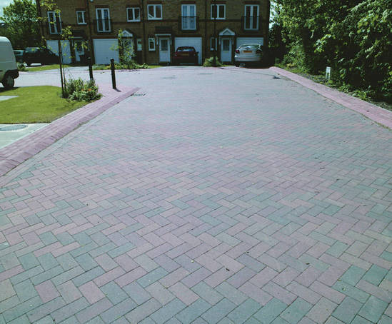
I've see an increased use of block paving as a road surface on new
housing developments. Example image:

http://cms.esi.info/Media/productImages/38030_1338993270237_PF.jpg

How are people tagging these? At first I wondered about the
highway=living_street tag but the wiki page suggests these should be
signposted and have special regulations:

http://wiki.openstreetmap.org/wiki/Tag:highway=living_street

I guess highway=residential and surface=paving_stones is most suitable
unless someone has some better suggestions?
I don't think the road surface really matters as to whether or not it is
a living street.
What is more relevant:
Are there any pavements, are they separated by kerbs? Or are people
encouraged to walk along/across the road, ie "shared space".
Is there a low speed limit. ie 20mph or less?
Any traffic calming to slow vehicles down, eg speed bumps, or chicanes.
Or street furniture, ie trees, bollards, benches on the road.
Craig

_______________________________________________
Talk-GB mailing list
[email protected]
https://lists.openstreetmap.org/listinfo/talk-gb