>Hi,Some of you may recognize my name, I came up with the name "Viking" :) but
>have not been so active in recent years...
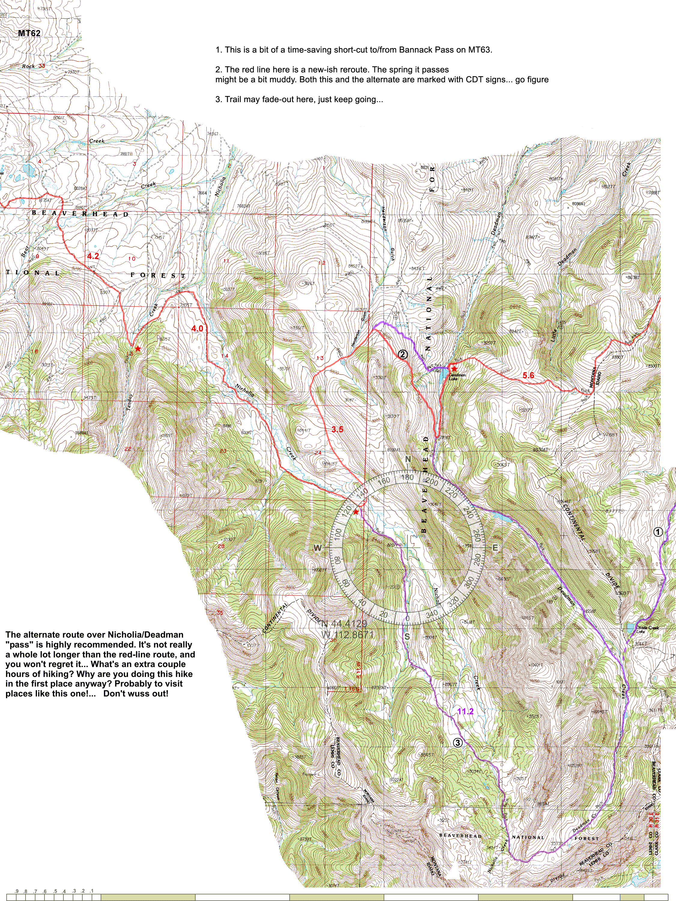
Excellent to still hear you are alive and kicking :)

> https://github.com/evanbattaglia/viking/tree/imageboxlayer
> A sample compass rose is in doc/sample-compassrose.png.

I'll investigate it.
However I'm (we are?) hoping to release a 1.3 version imminently, so it would
be for 1.4

> Let me know if any of you have questions about this feature.

I don't quite understand your use case - are you printing these maps out?

It's a bit different from how I use things, but I'm sure I'll work it out

> Just FYI, some of the features I would like to implement that I believe are
> not in Viking, and may or may be working on depending on time:

>  * labeling a track with its length, probably in the middle, and showing the
>endpoints more prominently. Again, this is to generate map similar
>to http://www.phlumf.com/travels/cdt/cdtmaps.shtml (see
>sample http://www.phlumf.com/travels/cdt/mt62.gif)

Note you get tooltip style info which *includes the length*, when you put the
mouse over the track name in the layers panel.

ATM if you put Viking into a select mode (click on the pointer next ruler on
the tool bar) use can select a track by clicking on it (well any of actual
trackpoints - which if you're in zoomed in close). This highlights the track in
the layers panel and also shows some information in the statusbar including the
track name - if your screen is big enough :)

Personally I'd find track labels confusing with many tracks:
 how does the 'middle' of track relate to track? Depends on shape of the track
- line, circle, other - the 'middle' of different tracks can easily overlap -
and the 'middle' may not seem obvious to the user.

However it could be useful, but at least it should be configurable - maybe
defaulting off for the layer. [Configurable layer defaults are in the wish
list/roadmaps].

Note there is this my idea in the Wiki for the 1.4 roadmap
"Show distance along a track as markers (maybe 'auto' waypoints / or just gui
elements) in friendly scaled units if desired."
I can expand in more detail this idea if you're interested - it seems very
similar to your idea.

Agreed the start and end points should be clearer - maybe the size needs
relating to the current zoom level?

Also maybe having the option to show arrows to indicate track direction could
be nice too.

The Roadmap / Ideas / Wishlist are a little scattered in the wiki - I'll clean
it up somewhat.

>  * Ability to merge all TRWlayers under a particular AggregateLayer

Yes

>  * Have a tool that can connect trails to find the shortest path amongst your
>tracks using Dijkstra's algorithm, A*, etc. It would also allow for trails
>which don't >exactly touch by setting a threshold wherein two track endpoints
>are deemed "close enough" and an edge connecting them in the graph is created.
>I want this >to be able to choose between different combinations made up of
>tracks and to see what the shortest route would be. It would also be useful
>for reconnecting a >track that has been split up into segments that all touch
>each other but are unordered.

Sounds complicated.
Do it if you want.


>BTW, one question -- is there a reason we are still using the sourceforge git
>repo? We use github at work and it's really nice because people can make forks
>and >do pull requests easily, see the network graph, etc.

Historical.

Well it hosts the Wiki, various trackers and of course this mailing list!

The beauty of distributed development, one can fork off sourceforge (code only)
and host it anywhere else.
At the moment one probably has to clone from sourceforge via ssh onto a local
machine and then push it to github (ssh or http)

Obviously as Evan has done it's easier to fork my (rnorris) github repo.

PS I would like make a personal thanks to Evan for starting this project and
making it as good/useful such that I became so hooked, I just had to start
contributing back.
PPS What ever happened to Quy Tonthat?

------------------------------------------------------------------------------
Better than sec? Nothing is better than sec when it comes to
monitoring Big Data applications. Try Boundary one-second
resolution app monitoring today. Free.
http://p.sf.net/sfu/Boundary-dev2dev
_______________________________________________
Viking-devel mailing list
Viking-devel@lists.sourceforge.net
https://lists.sourceforge.net/lists/listinfo/viking-devel
Viking home page: http://viking.sf.net/