Except of course, when the boundary is disputed, then there might be
overlap and possibly even holes of no man's land?
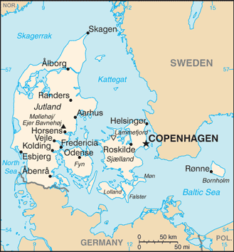
Polyglot

2018-03-12 13:41 GMT+01:00 Dave F <[email protected]>:

> OK, I understand what you're trying to highlight, but don't see it as
> relevant to this thread.
> But anyway, the "boundary between two countries" can be distinguished as
> they'll have two relations with boundary data whereas "the high seas"
> boundary will only have one.
>
> DaveF.
>
> On 12/03/2018 00:17, Christoph Hormann wrote:
>
>> On Monday 12 March 2018, Dave F wrote:
>>
>>> and it would not distinguish between the outer boundaries (towards
>>>> the high seas)
>>>> and the boundaries between two countries.
>>>>
>>> Unsure what you mean. Could you elaborate, Example?
>>>
>>> Sure:
>>
>> https://www.openstreetmap.org/way/96104334
>>
>> is an outer maritime boundary at 12 mile distance from the baseline
>> separating the territorial waters from the high seas.
>>
>> OTOH
>>
>> https://www.openstreetmap.org/way/54749533
>>
>> is a maritime boundary between two countries.
>>
>> You might say this difference is not of practical importance for data
>> users but there are for example many maps which generally do not show
>> the first type of boundary but which do show (at least partly) the
>> second type of boundary.  Like this:
>>
>> http://legacy.lib.utexas.edu/maps/cia16/denmark_sm_2016.gif
>>
>> You can of course determine this difference from the spatial
>> relationship of the boundary relations.
>>
>>
>
> _______________________________________________
> Tagging mailing list
> [email protected]
> https://lists.openstreetmap.org/listinfo/tagging
>
_______________________________________________
Tagging mailing list
[email protected]
https://lists.openstreetmap.org/listinfo/tagging