On Sat, Dec 5, 2009 at 5:59 PM, Harshad RJ <[email protected]> wrote:
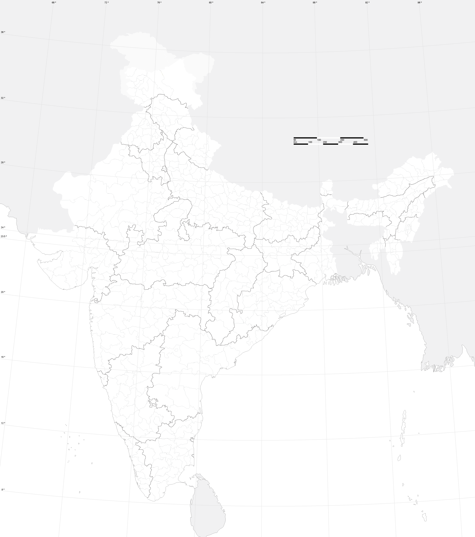
> Hi,
>
> I have found district data for India here:
> http://finder.geocommons.com/overlays/4383
>

> I have managed to download, parse and convert into OSM format. Attributes
> are marked as defined here:
> http://wiki.openstreetmap.org/index.php/Key:boundary
>
> (For Indian districts, boundary=administrative, admin_level=4, area=yes)
>
> Before uploading, I thought I should check with experienced folks here,
>
>
>    - Does this dataset have any copyright issues?
>
> awesome. the census data was released under the mit license if i recall
correctly and seems to be compatible with cc-by-sa
http://creativecommons.org/licenses/MIT/ so it doesnt look like an issue.

the only issue is that the district data is outdated (2001) and many new
districts have been carved out and merged. two things can be done:
1) wait for another free updated gis dataset from the govt (most probably
only 2011)
2) put in the existing data as a starting point, which is in any case quite
useful and good for most parts.


>
>    - Are there any district boundaries that are already well mapped and
>    need to be excluded?
>
> only the chennai city boundary which should be a lot more detailed than the
census one. all other existing boundaries were from the 2001 census data

>
>    - Any other thoughts?
>
> do preserve all metadata for the shapes, like district code or number. one
more thing that needs to be done is the merging of districts to create the
state boundaries. This
map<http://bitterscotch.files.wordpress.com/2008/06/india_map_outline.png>should
be a good reference for doing that . Another issue is for Kashmir
districts, i believe the whole PoK part is one district, this might need
some different tag maybe boundary=disputed


> If no problems, I can bulk upload the data. My process will be:
>
>    1. upload a single district boundary
>    2. Check if it was uploaded and rendered correctly
>    3. Upload the remaining district boundaries
>
> i feel its about time this was done, as boundaries are something that we
cant map with a gps, we are limited to official datasets, and this counts as
the latest official release from the government

--
http://j.mp/ArunGanesh
_______________________________________________
Talk-in mailing list
[email protected]
http://lists.openstreetmap.org/listinfo/talk-in