The district data has been uploaded. I have preserved the meta-data
information under the namespace "census2001"
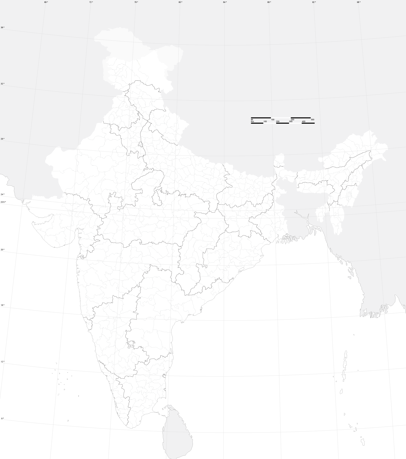
According to the bulk import guidelines, I have created a separate user name
and uploaded from it. Have update the diaries here:
http://www.openstreetmap.org/user/HRJ_District/diary


On Sat, Dec 5, 2009 at 7:51 PM, PlaneMad <[email protected]> wrote:

> On Sat, Dec 5, 2009 at 5:59 PM, Harshad RJ <[email protected]> wrote:
>
>> Hi,
>>
>> I have found district data for India here:
>> http://finder.geocommons.com/overlays/4383
>>
>
>> I have managed to download, parse and convert into OSM format. Attributes
>> are marked as defined here:
>> http://wiki.openstreetmap.org/index.php/Key:boundary
>>
>> (For Indian districts, boundary=administrative, admin_level=4, area=yes)
>>
>> Before uploading, I thought I should check with experienced folks here,
>>
>>
>>    - Does this dataset have any copyright issues?
>>
>> awesome. the census data was released under the mit license if i recall
> correctly and seems to be compatible with cc-by-sa
> http://creativecommons.org/licenses/MIT/ so it doesnt look like an issue.
>
> the only issue is that the district data is outdated (2001) and many new
> districts have been carved out and merged. two things can be done:
> 1) wait for another free updated gis dataset from the govt (most probably
> only 2011)
> 2) put in the existing data as a starting point, which is in any case quite
> useful and good for most parts.
>
>
>>
>>    - Are there any district boundaries that are already well mapped and
>>    need to be excluded?
>>
>> only the chennai city boundary which should be a lot more detailed than
> the census one. all other existing boundaries were from the 2001 census
> data
>
>>
>>    - Any other thoughts?
>>
>> do preserve all metadata for the shapes, like district code or number. one
> more thing that needs to be done is the merging of districts to create the
> state boundaries. This
> map<http://bitterscotch.files.wordpress.com/2008/06/india_map_outline.png>should
>  be a good reference for doing that . Another issue is for Kashmir
> districts, i believe the whole PoK part is one district, this might need
> some different tag maybe boundary=disputed
>
>
>> If no problems, I can bulk upload the data. My process will be:
>>
>>    1. upload a single district boundary
>>    2. Check if it was uploaded and rendered correctly
>>    3. Upload the remaining district boundaries
>>
>> i feel its about time this was done, as boundaries are something that we
> cant map with a gps, we are limited to official datasets, and this counts as
> the latest official release from the government
>
> --
> http://j.mp/ArunGanesh
>
> _______________________________________________
> Talk-in mailing list
> [email protected]
> http://lists.openstreetmap.org/listinfo/talk-in
>
>


--
Harshad RJ
http://hrj.wikidot.com
_______________________________________________
Talk-in mailing list
[email protected]
http://lists.openstreetmap.org/listinfo/talk-in