On Sat, Dec 5, 2009 at 7:51 PM, PlaneMad <[email protected]> wrote:
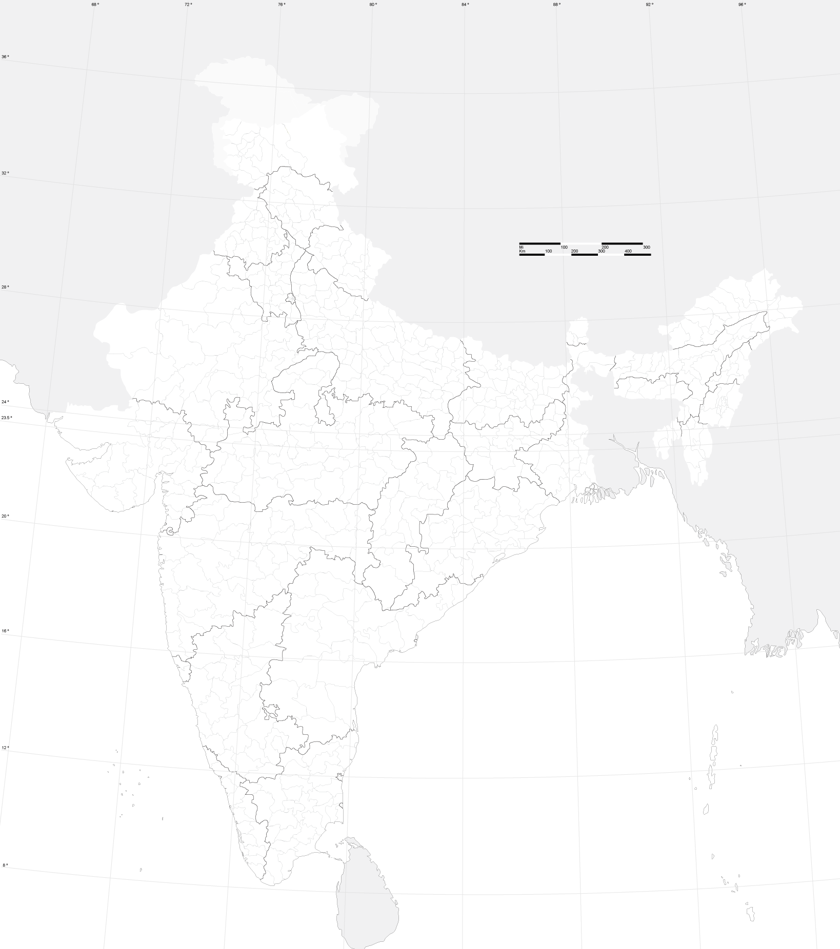
> On Sat, Dec 5, 2009 at 5:59 PM, Harshad RJ <[email protected]> wrote:
>
>> awesome. the census data was released under the mit license if i recall
>> correctly and seems to be compatible with cc-by-sa
>> http://creativecommons.org/licenses/MIT/ so it doesnt look like an issue.
>
>
Great!


>
> the only issue is that the district data is outdated (2001) and many new
> districts have been carved out and merged. two things can be done:
> 1) wait for another free updated gis dataset from the govt (most probably
> only 2011)
> 2) put in the existing data as a starting point, which is in any case quite
> useful and good for most parts.
>
>

2011 is really far away. Moreover, when the new data is available and bulk
delete and upload could be done. I will try to preserve the node-ids of my
upload, so that we could delete them with a script if required.


>>    - Are there any district boundaries that are already well mapped and
>>    need to be excluded?
>>
>> only the chennai city boundary which should be a lot more detailed than
> the census one. all other existing boundaries were from the 2001 census
> data
>

Umm is chennai city different from chennai district?


>
>>    - Any other thoughts?
>>
>> do preserve all metadata for the shapes, like district code or number.
>

Ok. I had removed extraneous meta-data because it might pollute the OSM
database (and namespace). Is there any standard way of keeping such
non-standard meta data?
:-D


> one more thing that needs to be done is the merging of districts to create
> the state boundaries. This
> map<http://bitterscotch.files.wordpress.com/2008/06/india_map_outline.png>should
>  be a good reference for doing that .
>

I actually have a shapefile for all first-level administrative regions (aka
states in India). The trouble is that it is apparently a line-shape file and
not polygonal.

The conversion tool has trouble dealing with that.

In any case merging state and district boundaries is going to require some
manual intervention. I guess you are hinting that with your raster map :)

BTW, I have modified the original conversion script in OSM's SVN to merge
nodes from adjacent regions. Otherwise, it was creating ways with separate
nodes for each district!


> Another issue is for Kashmir districts, i believe the whole PoK part is one
> district, this might need some different tag maybe boundary=disputed
>

Well, since it's a one-off case, we could do it manually later.

right ho,
--
Harshad RJ
http://hrj.wikidot.com
_______________________________________________
Talk-in mailing list
[email protected]
http://lists.openstreetmap.org/listinfo/talk-in