On 3/25/2011 5:43 AM, Toby Murray wrote:
Thank you for the apology.
I don't think that revert is going to happen though. Even if I agreed
that this was the solution, it would be a nightmare. I did a lot of
boundary work in that changeset involving splitting circular county
border ways, creating relations, deleting superfluous nodes and
un-grouping boundary nodes that were joined to roads to satisfy the
evil that is the duplicate node checker.
Perhaps simply moving the nodes back would be enough? This of course
wouldn't work if a lot of nodes were removed.
In fact, my changes make it substantially easier to edit the border in
the first place without creating additional conflicts or having to
move a thousand useless nodes along the way. So how about instead of
spending hours trying to undo even more hours of my work, you instead
spend 10 minutes to improve upon it yourself?
I actually was going to move the two nodes, but then saw that there was
a bigger problem.
I think Paul may have beaten you to it though. The nodes in question
now appear precisely over the monuments. Colorado is safe for another
day. Well... as long as they can avoid those wildfires...
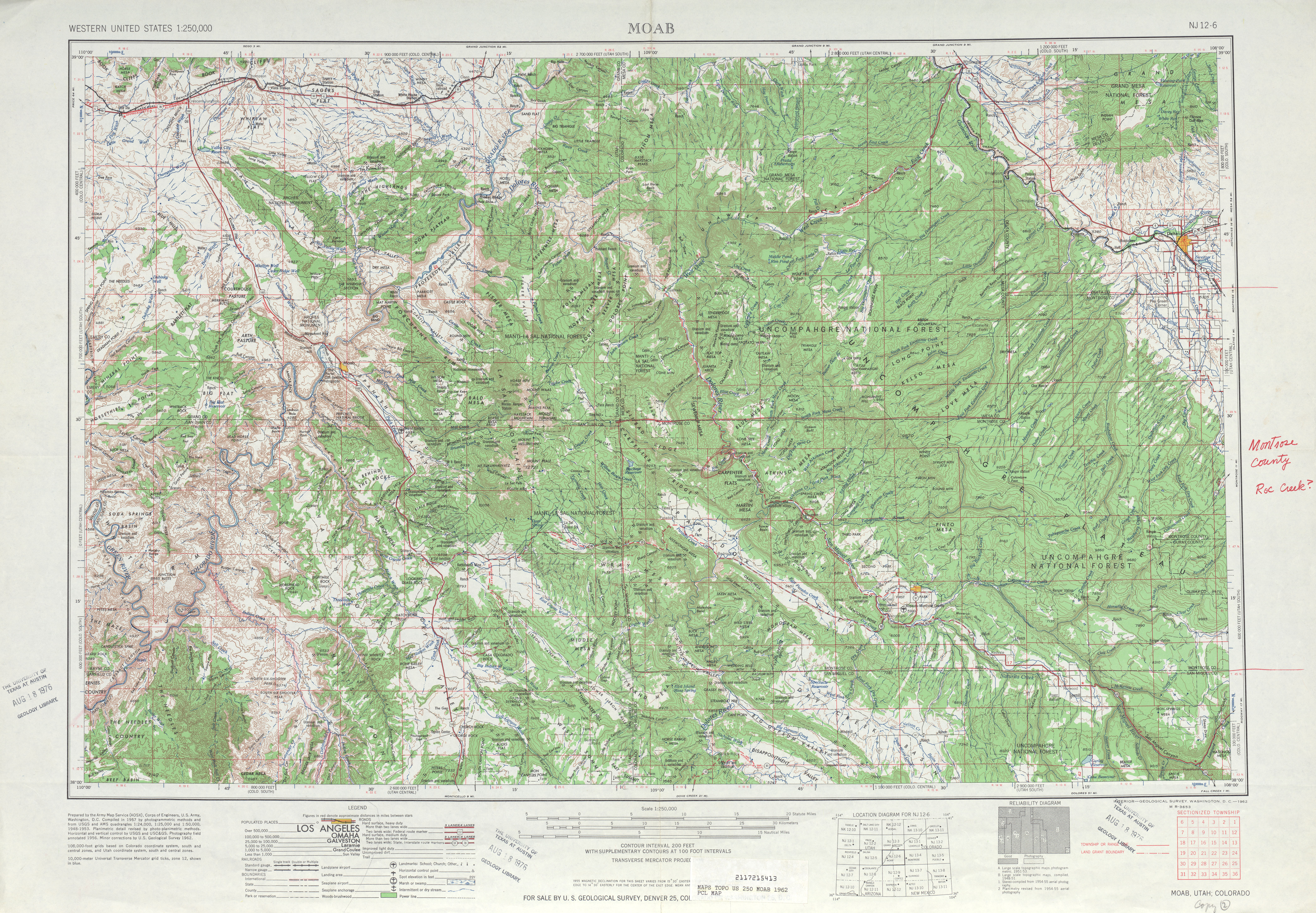
That's nowhere near the extent of the damage.
http://www.openstreetmap.org/?node=83787064 is supposed to be on the
state line. On
http://www.lib.utexas.edu/maps/topo/250k/txu-pclmaps-topo-us-moab-1962.jpg
(a bit south of the center) you can see a major imperfection in the
border just south of that crossing. Getting the exact lat/long of every
defined point on the border would be best, but the pre-Techlady status
was certainly better than it is now.
_______________________________________________
Talk-us mailing list
[email protected]
http://lists.openstreetmap.org/listinfo/talk-us