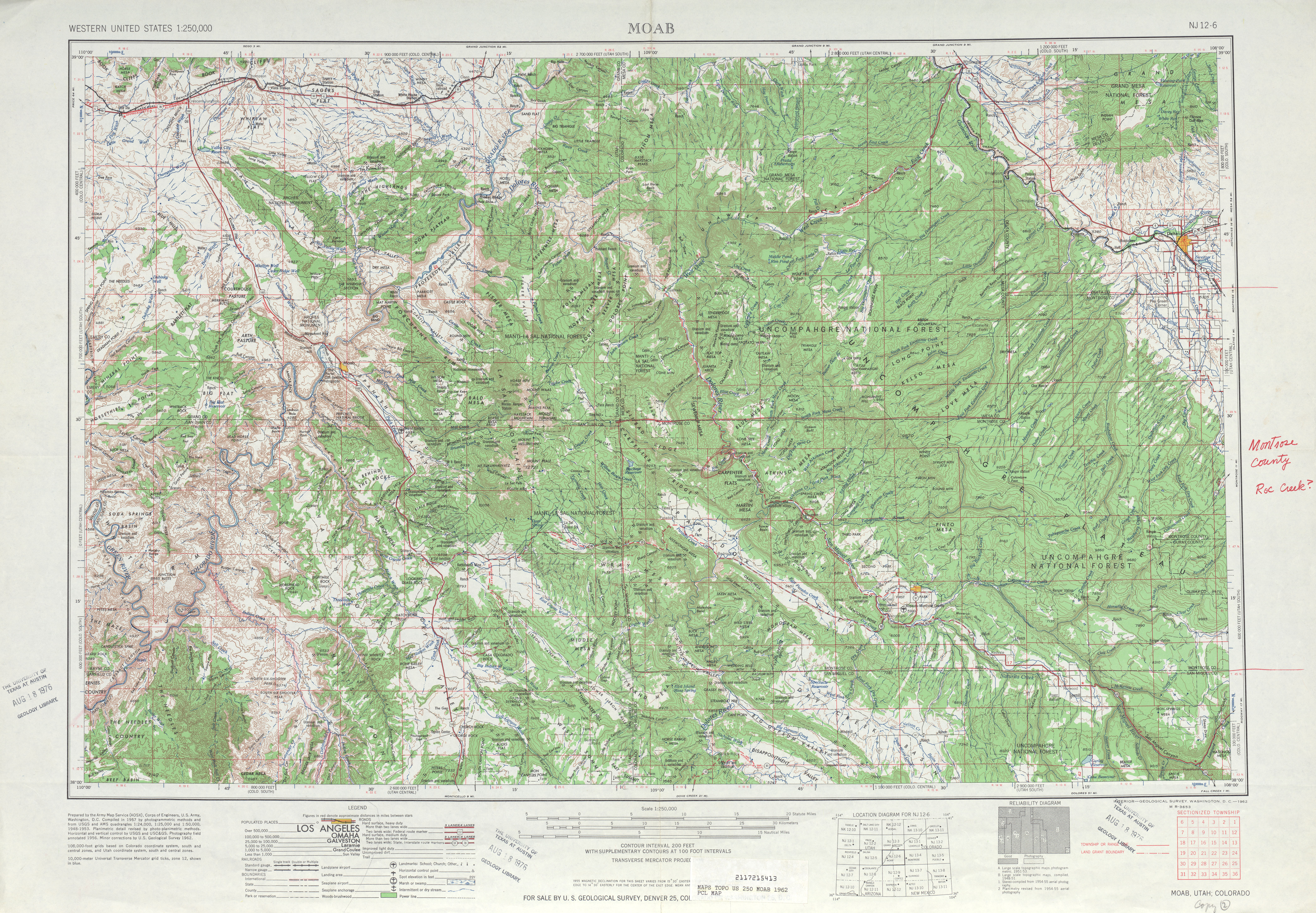
On Fri, Mar 25, 2011 at 4:49 AM, Nathan Edgars II <[email protected]> wrote:
>
> That's nowhere near the extent of the damage.
> http://www.openstreetmap.org/?node=83787064 is supposed to be on the state
> line. On
> http://www.lib.utexas.edu/maps/topo/250k/txu-pclmaps-topo-us-moab-1962.jpg
> (a bit south of the center) you can see a major imperfection in the border
> just south of that crossing. Getting the exact lat/long of every defined
> point on the border would be best, but the pre-Techlady status was certainly
> better than it is now.
Yep, it is off by a couple hundred meters in some places. When I get
home tonight I will download the latest Census shapefile and align the
Colorado border to it by hand. A brief check shows that this data does
have the border going through the monuments as well as that 3rd node
you linked to (or at least where that node SHOULD be - it is 40 meters
north of the nearest roadway)

This is how the map is improved, not through unilateral reverting of
large changesets.

Toby

_______________________________________________
Talk-us mailing list
[email protected]
http://lists.openstreetmap.org/listinfo/talk-us