Igor Brejc schrieb:
Hi,I've started playing around using DirectX in combination with SRTM data to draw 3D relief OSM maps. The plan is to add this feature to Kosmos. Please visit http://igorbrejc.net/openstreetmap/openstreetmap-in-3d if you want to see some initial results.
Yap, this indeed looks nice.I did something similar very long time ago (was at API 0.4 times) and it really doesn't look that good, I just thought I share this with you:
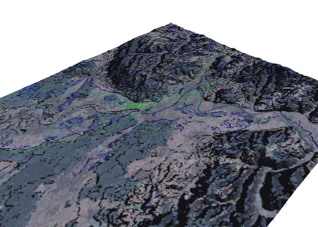
http://kripton.kripserver.net/software/v.in.osm/nviz_visual_osm_height.pngThe picture shows Aschaffenburg, Germany. Main Image is landsat, green lines are OSM-data (lines), blue lines are OSM-data (areas). Height data is taken from SRTM.
The image is created using the nviz-module from GRASS GIS in linux.

Jannis
![]() smime.p7s
smime.p7s
Description: S/MIME Cryptographic Signature
_______________________________________________
talk mailing list
[email protected]
http://lists.openstreetmap.org/cgi-bin/mailman/listinfo/talk