Jannis, I think the "nicety" of screenshots I published are more the
result of a better graphics card than my programming skills :). I'm
sure you can come up with even better stuff using DirectX 10 or
something similar :)
Anyway, I too worked on a similar thing 2-3 years ago but then I gave
up because I didn't have anything more than the relief and a bitmap to
show - this was before I got involved with the OSM project. Having a
freely available vector map data changes everything...
Igor
Jannis Achstetter wrote:
Igor
Brejc schrieb:
Hi,
I've started playing around using DirectX in combination with SRTM data
to draw 3D relief OSM maps. The plan is to add this feature to Kosmos.
Please visit http://igorbrejc.net/openstreetmap/openstreetmap-in-3d if
you want to see some initial results.
Yap, this indeed looks nice.
I did something similar very long time ago (was at API 0.4 times) and
it really doesn't look that good, I just thought I share this with you:
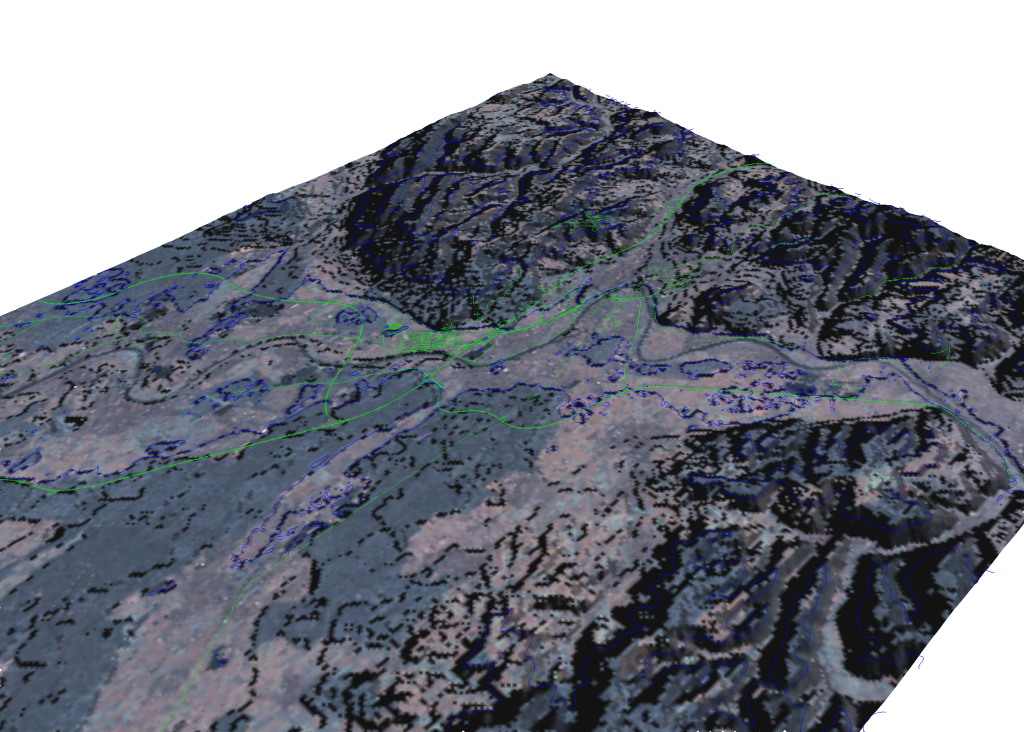
http://kripton.kripserver.net/software/v.in.osm/nviz_visual_osm_height.png
The picture shows Aschaffenburg, Germany. Main Image is landsat, green
lines are OSM-data (lines), blue lines are OSM-data (areas). Height
data is taken from SRTM.
The image is created using the nviz-module from GRASS GIS in linux.
Jannis
_______________________________________________
talk mailing list
[email protected]
http://lists.openstreetmap.org/cgi-bin/mailman/listinfo/talk
--
http://igorbrejc.net
|
_______________________________________________
talk mailing list
[email protected]
http://lists.openstreetmap.org/cgi-bin/mailman/listinfo/talk