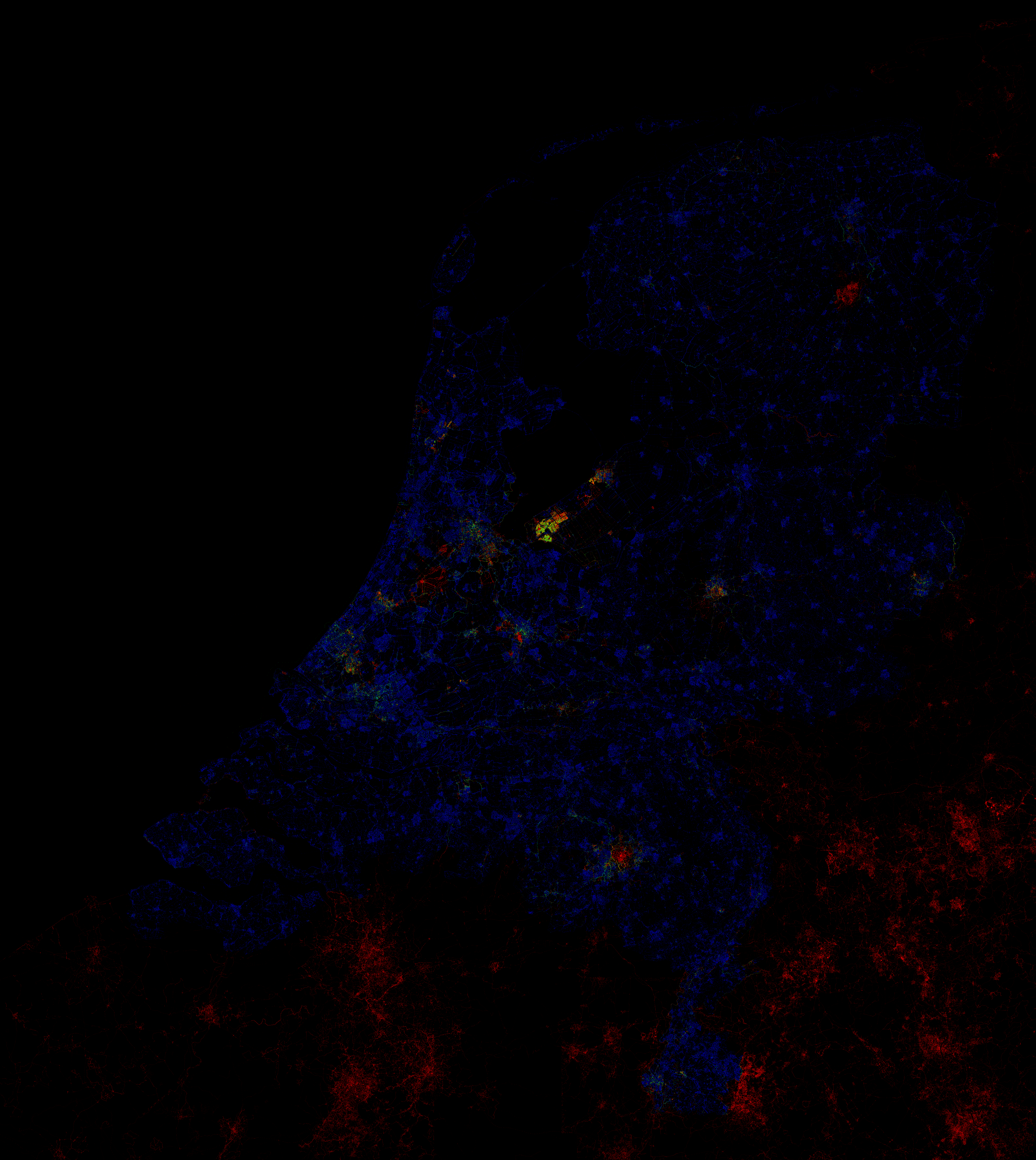
Freek recently created this image which shows how much of the AND data is
untouched: http://www.vanwal.nl/osm/author_density_nl_20080502_full.png(warning
3 MB image). I think the z18 idea is good idea.
On Mon, May 12, 2008 at 11:36 PM, David Earl <[EMAIL PROTECTED]>
wrote:

> On 12/05/2008 21:02, Cartinus wrote:
> > On Monday 12 May 2008 21:16:38 David Earl wrote:
> >> So I think Inge is right - we need different measures for our own use.
> >> But on the public map, all streets with names seems a pretty good
> >> achievable and useful thing to show.
> >
> > I don't think it is a good idea to call that just "complete". I think it
> > should be made very clear that it is just the road network that is
> complete
> > and not the map.
>
> Fine.
>
> > With the import of the AND data the road network in the Netherlands is
> mostly
> > complete. Now we often hear: "Why do you still need to map more? It is
> > complete with the AND data, isn't it?"
> >
> > Having more levels or categories of completeness makes it clear that we
> are
> > not finished yet after we put the roads in the database.
>
> I think we are violently agreeing here!
>
> David
>
>
>
>
> _______________________________________________
> talk mailing list
> [email protected]
> http://lists.openstreetmap.org/cgi-bin/mailman/listinfo/talk
>
_______________________________________________
talk mailing list
[email protected]
http://lists.openstreetmap.org/cgi-bin/mailman/listinfo/talk